 |
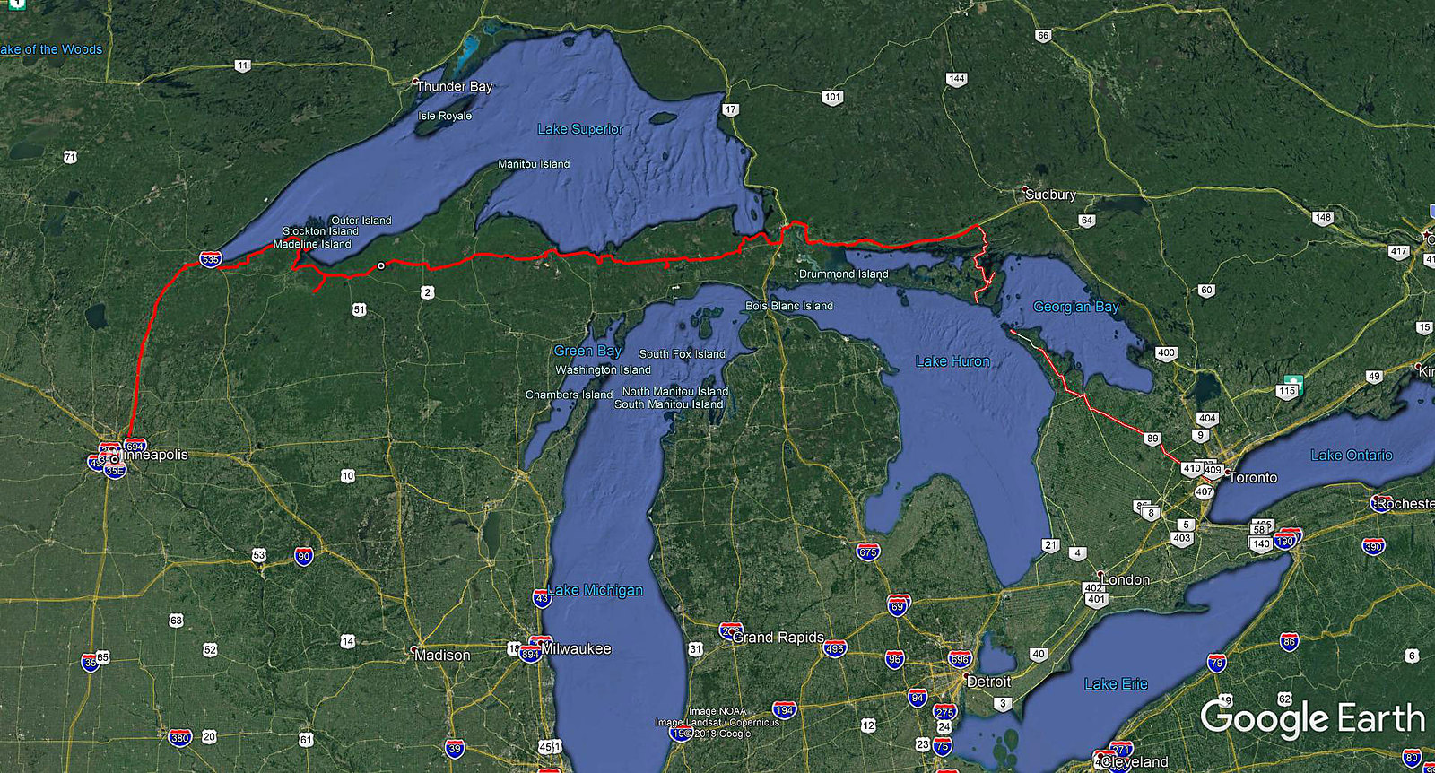
| Our route from Minneapolis, Minnesota to Mississauga, Ontario |
In the
late 1990s I got my Air Miles card and for the next 20 years I used it while
making purchases at certain stores, collecting air miles. I guess it was not
one of the best air miles cards—when I finally redeemed most of my points for
the one-way flight from Toronto to Minneapolis in 2017, I saved about $200
(still had to pay over $100 in taxes). Wow, it is like ‘earning’ $10 per year!
Tuesday, August 22, 2017
The
good thing was the Air Canada flight was departing at 9:00 a.m., not at 6:00
a.m., like last time; at least I was able to get a good night’s sleep! At the
Pearson’s Airport for the first time I used the self-checking option (having
printed my boarding pass at home), which worked without any glitches. As
expected, my carry-on baggage had to be scanned twice due to all the
electronics I was carrying (i.e., three cameras, two GPS units, chargers,
batteries, flashlights, headlights, recorder…), but surprisingly I did not even
have to open it. While I was waiting for the re-scan, I was observing several
people who, despite clear rules, still brought big bottles of liquids and
lotions; needless to say, they were confiscated in most cases.
Since
Pearson Airport provides United States border preclearance facilities, operated
by U.S. Customs and Border Protection officers (in 1952 it became the first
airport in the world to provide such facilities), there was another line. Most
of the travelers in the line were not apparently American or Canadian citizens
and thus some of them had to answer a number of questions as well as were
fingerprinted. When it was my turn, the officer just scanned my passport, took
a look at the monitor and asked what the purpose of my visit was.
“Camping”,
I said.
My
passport was stamped and voilà, I entered the United States! Well, not exactly,
as legally I still remained in Canada: the U.S. officials could question me,
but did not have the power to detain/arrest me, yet of course, could deny my
boarding (or I could just abandon my flight).
Since
the boarding was not going to occur for at least one hour—and did not have
breakfast—I decided to head towards Tim Horton’s—but when I saw a HUGE lineup
to this so-popular Canadian coffee shop, I immediately gave up—I did not want
to miss my plane ;)!
The
aircraft was a smallish Embraer E175, which seated around 80 passengers. The
flight’s total time was 1 hour and 48 minutes and after landing at the
Minneapolis/Saint Paul (MSP) airport, I quickly proceeded to the baggage
pick-up area—my suitcase had already been waiting for me!
Once I
found a good waiting spot, I called Catherine and told her where I exactly was.
Of course, she was still at home, tied up with something, and apologetically
said the she would be late.
“Don’t
worry about it! I have plenty of experience waiting for you at this airport”, I
said.
Well,
when had arrived here the previous year, I had had to wait for her for over one
hour too.
Once I
saw Catherine’s distinct white Dodge Caravan (albeit now with Minnesota plates
and a new front windshield, as the old one got damaged during our last trip in
the USA), I quickly got in, installed the GPS unit and we were on our way!
After
leaving the city (I was not interested in stopping there), we got on highway 35
and stopped at Forest Lake, where we went to Walmart and Aldi. I was quite
impressed with the Aldi. It is a chain of very inexpensive stores (not in
Canada, though) and indeed, we bought a lot of food items for our trip. There
was also a big sign on the store’s building: “Now Hiring! All positions $14-$24
per hour.” It appeared that, like in Canada, there was a shortage of certain workers
in Minnesota, too! However, I was quite disappointed with the Walmart.
Beforehand, I had made a list of things I wanted to buy, hoping that I would
get them for less than in Canada. Unfortunately, after factoring in the
exchange rate, I did not find any deals and we just bought a few basic items
for our trip. Since most of Walmart stores (and others too) were conveniently
located very close to main highways, it took us just minutes to get back on the
highway and we continued driving for some time, eventually stopping at a rest
stop and having our lunch.
Several
hours later we reached Duluth, a major port city in Minnesota, accessible to
oceangoing vessels from the Atlantic Ocean via the Great Lakes Waterway and the
Saint Lawrence Seaway. Although we did not stop, I admired the impressive bays,
ports, shipyards (?), freighters and railways. At one point it must have been a
very important industrial city, but I think its days of glory have been over
for some time. By the way, once we drove on the John A. Blatnik Bridge over
Saint Louis Bay, we entered the state of Wisconsin and later drove on road
number 13, more-less along the south shores of Lake Superior.
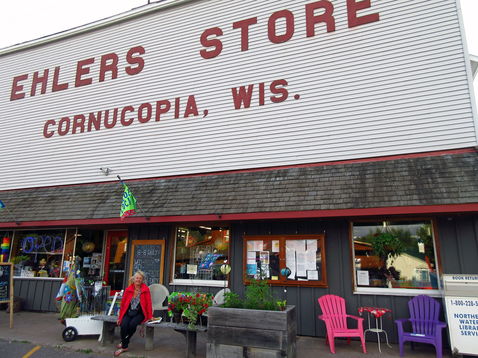
We
stopped in a small town of Cornucopia (meaning ‘horn of plenty’) and went to
Ehler’s Store, where we spoke with a very nice lady, the store owner, who also
happened to be Canadian. The store was quite old and it carried groceries,
camping supplies, hardware, souvenirs, arts & crafts—as well as it served
food. Vis-à-vis the store, there was a small post office and the sign said,
“Wisconsin’s Northern Most Post Office”. Once we reached Madeline Island, I saw
a post office there, too. Since Madeline Island appeared to be north of
Cornucopia, I had some doubts about this assertion—but later took a good look
at the map and realized that indeed, part of the island where the post office
was located was south of Cornucopia, thus making this claim totally legitimate!
Interestingly,
the first farmers who came to this area from the Austrian Empire were Carpatho-Russians,
the Rusyns, an ethnic group found in the mountainous borderlands of Poland,
Slovakia, Ukraine, and Romania. Rusyn surnames found in Cornucopia include
Kaseno, Celinsky, Sveda, Roman, and Pristash.
We
wished we could have spent more time exploring this town, but still had to
catch the ferry to Madeline Island. In spite of our (or rather Catherine’s)
driving efforts, we missed the 6:00 p.m. ferry and thus had enough time to
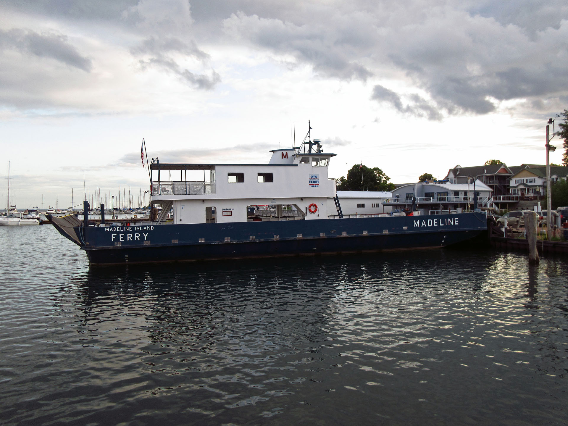
drive around the town of Bayfield. There were several ferries and it cost
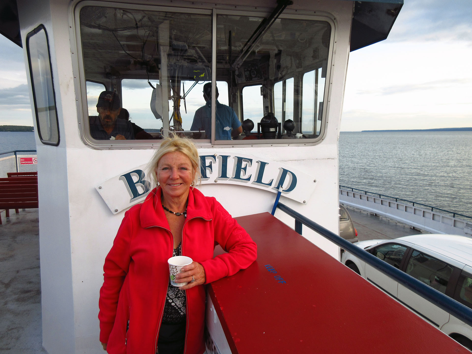
(round trip) $25 per car and $14 per person, altogether $53. It was a nice,
leisurely 20 minute ride during which we had an interesting conversation with
an American couple about our and their travels.
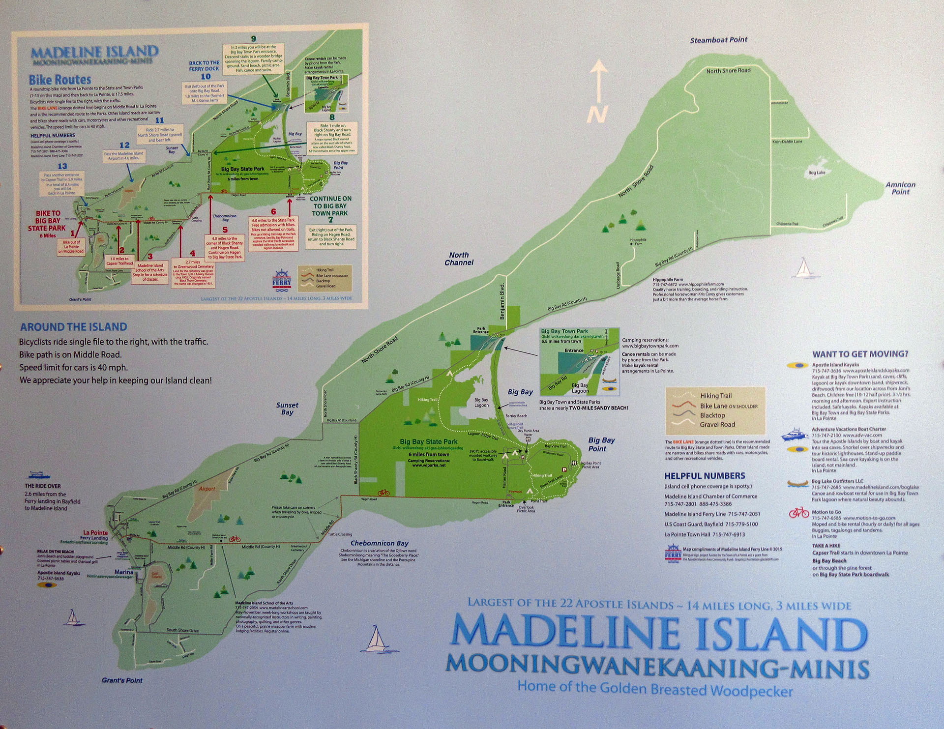
Madeline
Island, originally called Moningwunakauning ("The Home of the Golden
Breasted Woodpecker"), is one of a group of 22 “Apostle Islands” and is
the largest. It is the only island in the Apostle Island chain open to
commercial development and private ownership. Just north of Madeline Island is
Stockton Island (Gigawekamingo), which had one of the greatest concentrations
of black bears in North America!
As I
had made the campsite reservation weeks ago—the choice was quite limited due to
the park’s popularity—we went to the park office and quickly got our permits,
bought fire wood ($5) and headed to campsite number 7, which was quite nice.
The cost was $20 per night, but the van had to have a Wisconsin vehicle
admission sticker, valid for one year—it cost $38. It was raining a little, so
I quickly set up the tent and we went to sleep skipping having the fire.
Wednesday, August 23, 2017
So, we
woke up in Big Bay State Park! After having a quick breakfast, we talked to a
family with 4 kids and a lovely dog—a Border Collie puppy! Then we went for a
walk along the Barrier Beach Trail, meandering along lagoons and sand dunes.
There were pine trees, which, according to informative plaques, “can continue
to grow year-round because their waxy, evergreen leaves retain water against
drying winter winds. Because they do not grow new leaves each spring, they also
need less nutrition from the soil.” There were also mushrooms and other plants,
growing thanks to the humus layer, made up of pine needles, leaves, wood,
animal waste, dead organism and other particles. There was also reindeer
moss—which actually is lichen, consisting of a fungus and an alga in a
symbiotic relationship. It was a very nice walk!
The
park was very well maintained, thanks to the campground hosts, who kept all
campsites meticulously clean. We had a very interesting chat with them and
learned a lot of interesting things not only about the park, but also about
Madeline Island.
Later
we drove to town of La Pointe, parked the car and walked along several streets.
There were stores, a Catholic church & cemetery as well as an Indian
cemetery (where also non-native people were buried). The cemetery’s origins
went back to 1835, to a Catholic mission started by Frederic Baraga. Some of
the more prominent individuals buried there were Chief Kechewaishke and
Madeline Cadotte, after whom Madeline island is named. Many graves of Ojibwe
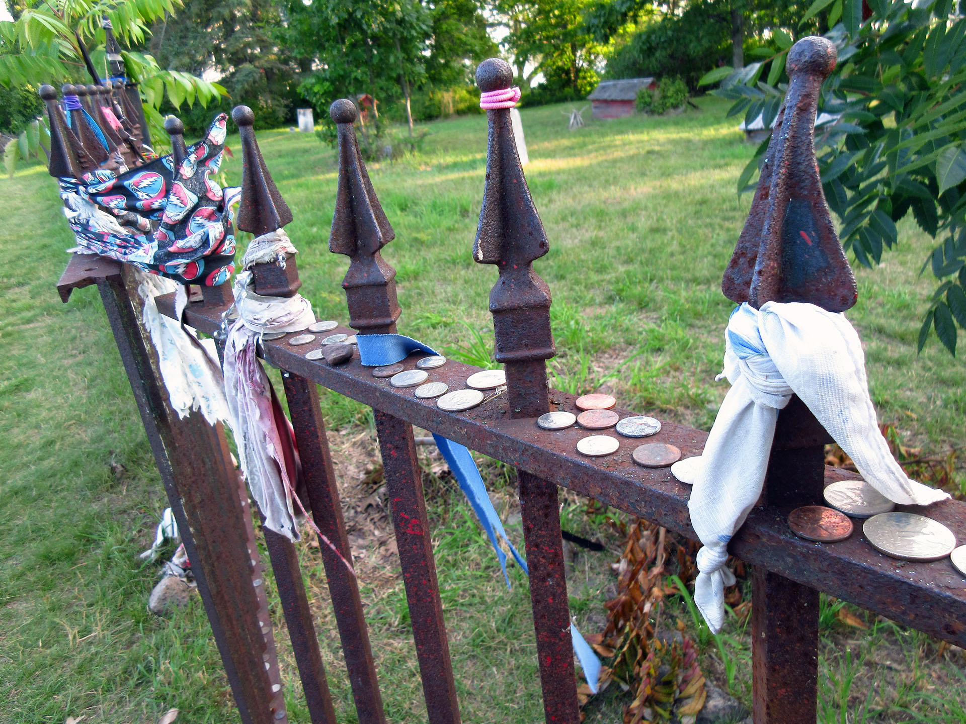
people were covered with a "Spirit House", meant to protect the
deceased buried there. Visitors were not allowed inside the cemetery which was
fenced—there were plenty of various offerings left on the fence (money,
dreamcatchers, stones, pieces of wood).
Most
of signs on the island were bilingual—in English and Anishinaabe (also called
Ojibwe). The latter language seemed a tad difficult—we did not even try to
pronounce it! Some examples:
Gidanamikaagoo
Omaa Mooningwanekaaning—welcome to Madeline Island.
Gichi-Wilkwedong
Danakamigiziwining—Town Park
Giigidoowigamigong—Town
Hall
Agindaasoowigamigong—Public
Library
Aakozhwigammigong—Clinic
Wemitigoozhi-Anama
Ewigamigong—Catholic Church
And
when we went to the bathroom, I used the one for “Ininiwag”, Catherine for
“Ikwewag”!
We
also talked to a few locals (always a very interesting experience), went to the
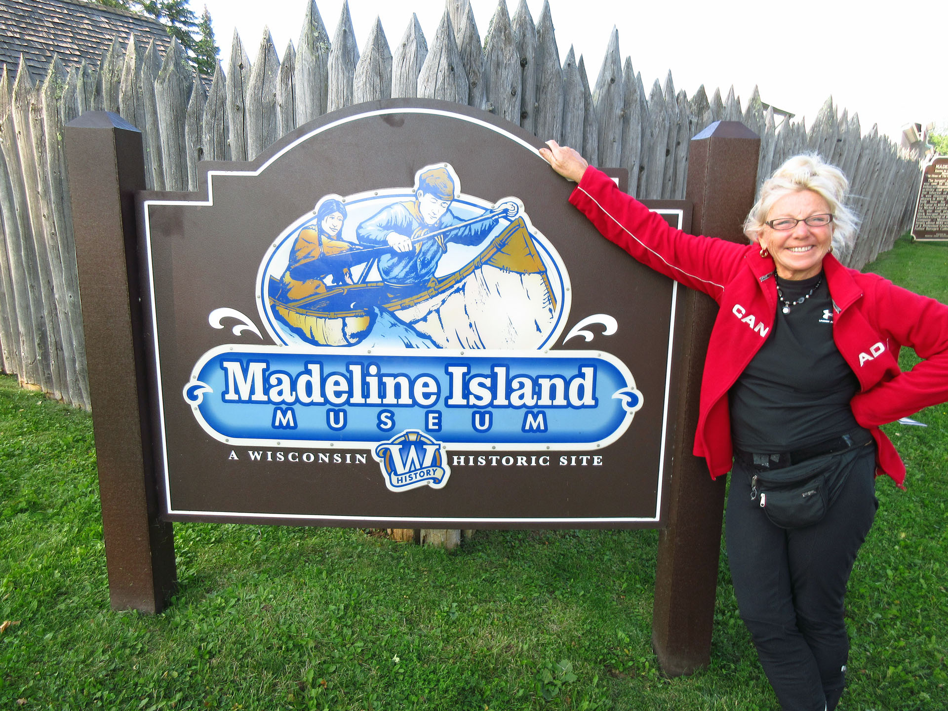
museum (which was just closing) and drove to another park (Big Bay Town Park),
owned by the town, where campsites were $25 per night (and no vehicle admission
sticker was required!). There were a bunch of canoes on the beach; we grabbed
one and went for a relaxing paddle on the lagoon and then made an appropriate
donation.
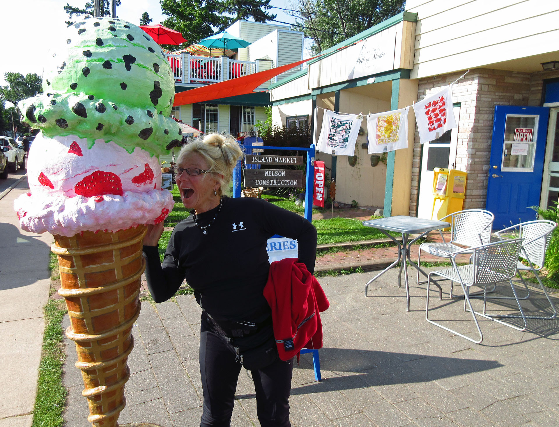 |
| Catherine loves ice cream-even if it's not real! |
We had
a campfire in the evening and grilled some steaks that Catherine had brought
from home—unfortunately, they turned out to be very bad and we discarded them,
having something else instead. Later a group of 6 raccoons came over to check
out our campsite for food, but quickly left dissatisfied as no food was left
outside.
I
always bring a bunch of books with me, which I love reading at the campsite—the
new, powerful LED headlights come very handy. Although I try to avoid fiction,
some books are certainly worth reading. One of them was “Vatican” by Malachi
Martin, a former Jesuit, who at was a close confidante of Pope John XXIII and a
Vatican insider. Even though the names and some dates were changed, the book
basically followed the rein of Popes Pius XII, John XXIII, Paul VI and John
Paul II. At over 800 pages, it took me a while to finish it (probably I did at
the very end of the trip), but it was a very satisfying experience, I learned a
lot about the inner workings of the Vatican and the ever-present clash between
Good and Evil.
Friday, August 25, 2017
We
packed up, headed to the ferry terminal. There was a slight lineup, I went to
the post office and mailed several post cards. There were several ferries
running, one of which had a Russian-sounding name “Nichevo”. The ferry operator
told us that the guy who was building the ferries (or some boats) was Russian
and each time people asked him what he was doing, he would answer, “Nichevo”
(‘nothing’ in English).
It was a beautiful day and the ferry ride took about 20
minutes over to Bayfield. After driving off the ferry, we parked the van and
went to the visitor center, where we spoke with a very interesting young girl
in her 20s, who was a student at The College of Saint Scholastica at Duluth,
taking global studies. She looked French-Canadian, but she had a bunch of
Ojibwy, Russian and other blood because she was adopted. She spoke several
different languages, she had been over to Russia twice and we spoke with her
for at least half an hour.
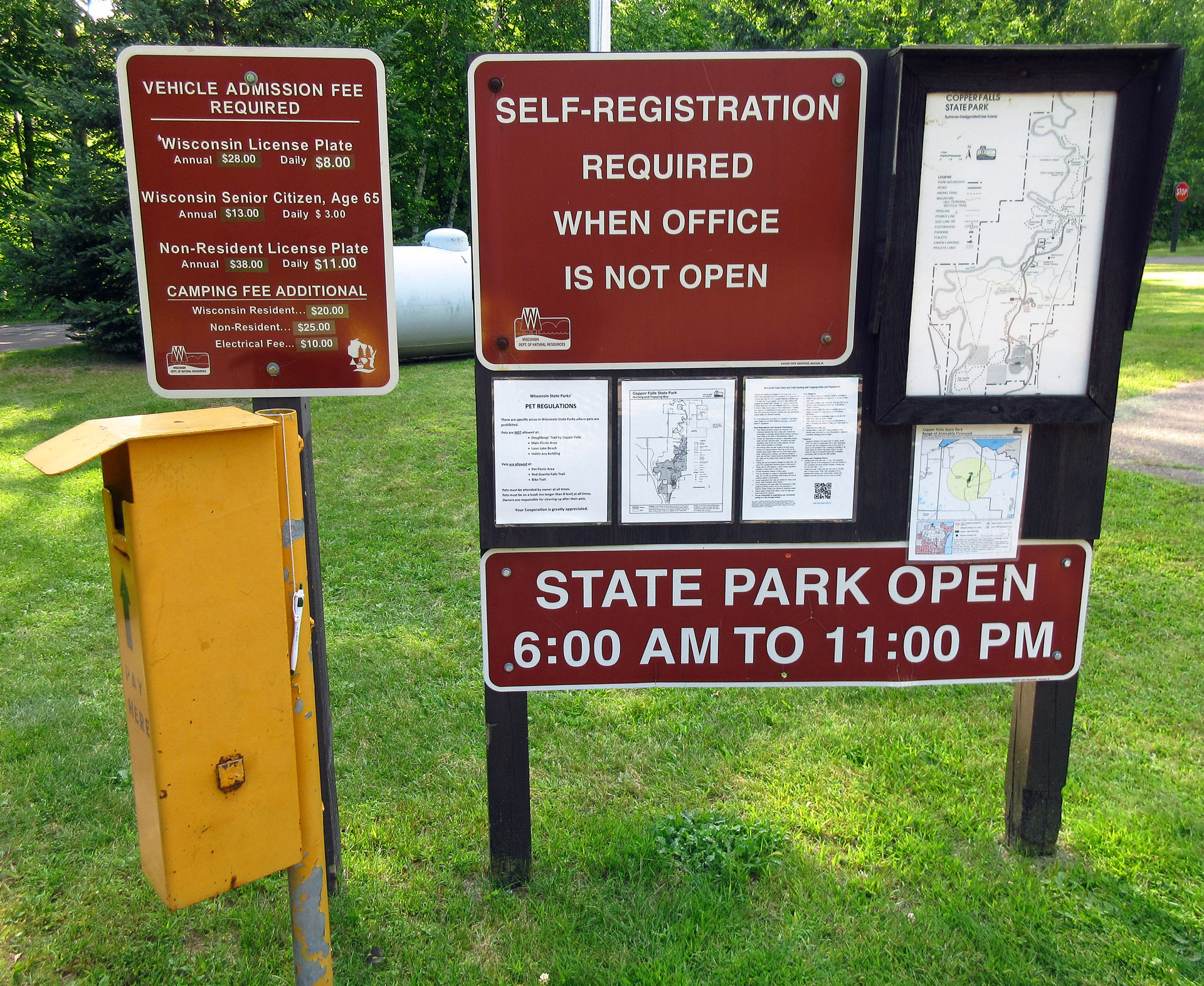
Then
we drove to the main highway and decided that we would not stay overnight in
the National Forest, but instead go to Copper Falls State Park, which was
closer—and we already had the Wisconsin car sticker. The park was perhaps 30
minutes from Bayfield. We drove around it, checking out south campground—it had
three circular roads with numerous campsites, which were not bad—yet I decided
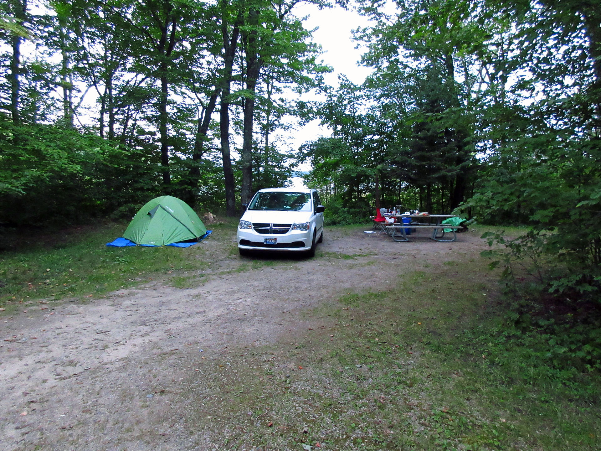
to go to the north campground too. We picked a very private campsite in the
northern loop (number 33), located near one park road, close to two other
roads, but of course, the park traffic was very light. We set up the tent and
as we started our hike to the falls, it started raining. We took shelter under
a fantastic picnic log shelter, built by the Civilian Conservation Corps in the
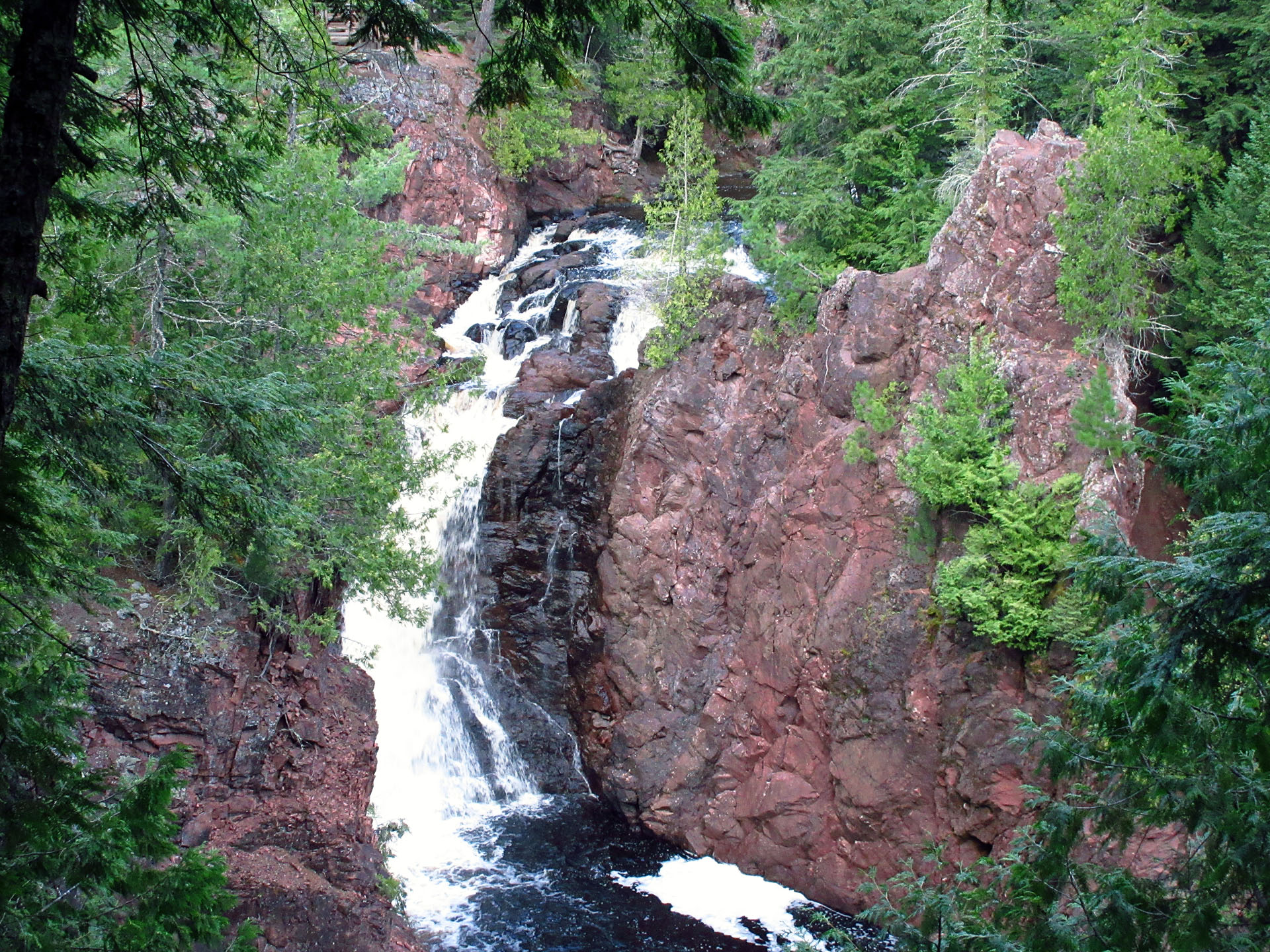
1930s. The architecture of the whole area was amazing. Finally it stopped
raining and we set forth on our hike to see the Copper Falls and Brownstone
Falls. We did not do the complete loop because it was getting dark and it
seemed as if it was going to rain again, but we did see the falls and they were
certainly worth seeing. We went back to the campsite, had a campfire and went
to bed.
Saturday, August 26, 2017
Catherine
woke up quite early and she knew it was going to rain, so she woke me up, we
packed up very quickly and did a quick hike on the North Country National
Scenic Trail, which was stretching approximately 4,600 miles (7,400 km) from
Crown Point in eastern New York to Lake Sakakawea State Park in central North
Dakota. It was very scenic and a little rugged—after probably walking 0.0001%
of the whole trail’s length, we turned back and drove to the park’s office. The
other day Catherine had noticed a cabin in the park and she wondered if any
tourists could stay there. The park employee told us that if you had a
disability, you could stay there for the same price we paid ($20).
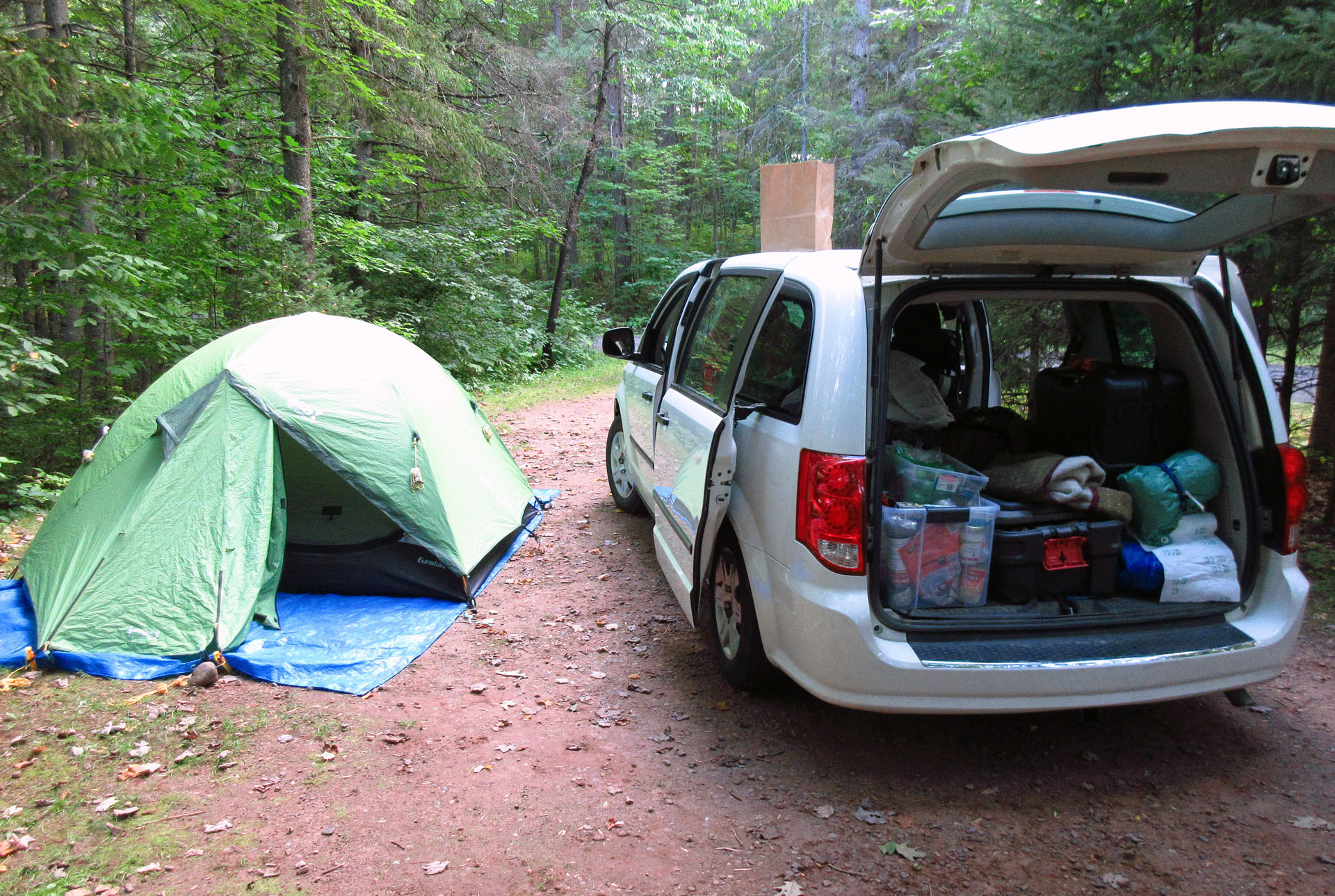 |
| Our campsite nr 33 at Copper Falls State Park |
We
drove back to highway 28 and headed east, dropping in to a Visitor Center on
the border between Michigan and Wisconsin. Then we spent another half an hour,
talking to the lady working there, she told us plenty of fascinating stories
and we also picked up several brochures about Michigan and the Upper Peninsula.
We headed towards Au Train in the Hiawatha National Forest, which was not too
far, but since Catherine got sleepy, we stopped in a small town, parked the van
on a museum property and took a refreshing nap. We also went to a Family Dollar
Store—which I found somehow overpriced—where I saw the second black person on
this trip.
We
also stopped at Marquette, it was very crowded as there was some festival. We
drove along the waterfront and parked near the museum, near the coastguard
station. There was a lighthouse and some old boats outside the museum. We had
some dip and cheese and had a nice picnic there!
Finally
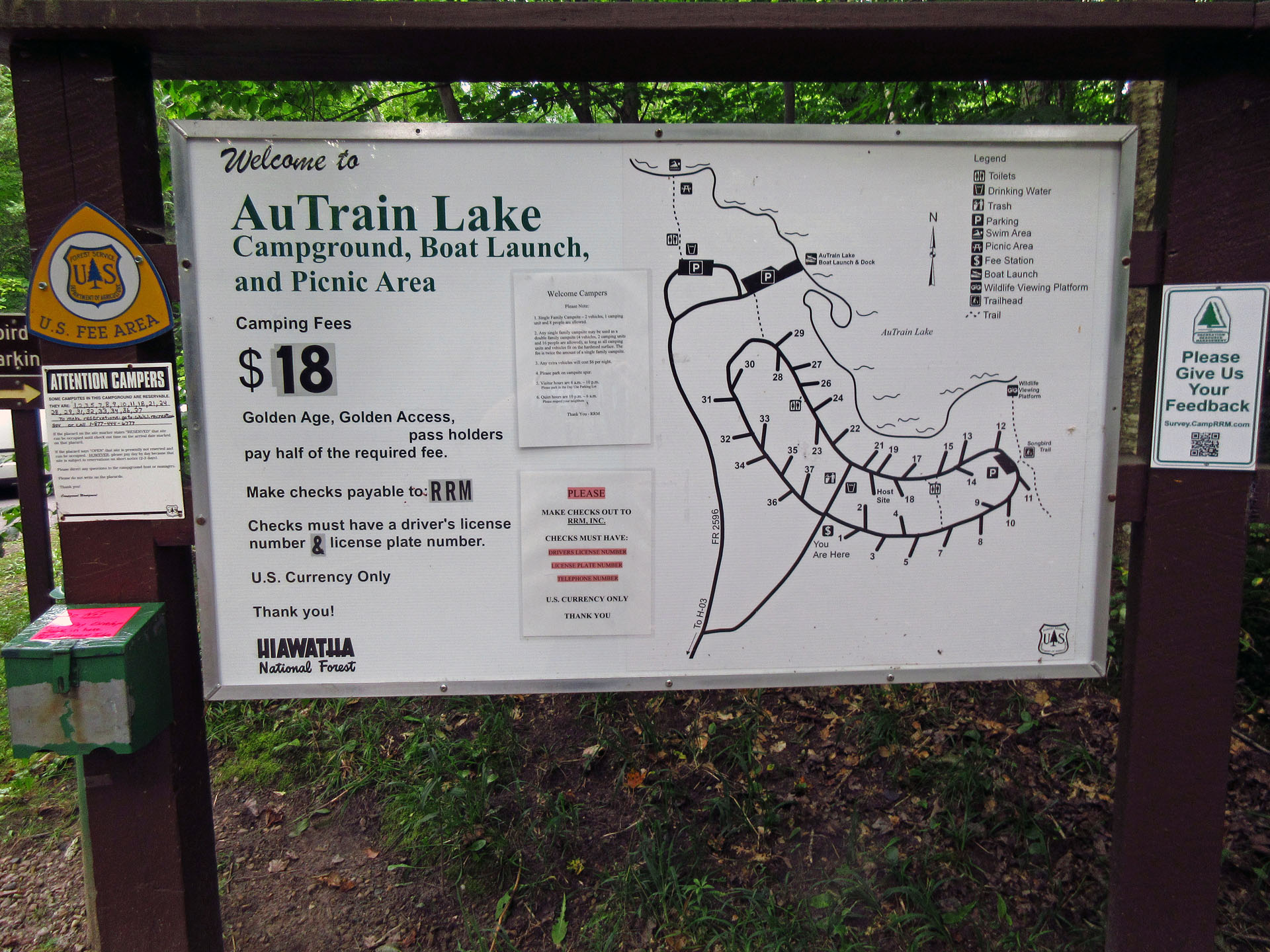
we reached Au Train Lake Campground. It had two loops, we drove around, trying
to find a nice campsite and eventually picked campsite number 13, near the
lake. Because of Catherine’s special pass, we only paid half of the regular
price, $9.00. The park had a self-reservation system, so I picked an envelope,
wrote information about us and our vehicle, put money in and was supposed to
slide it into a special money collection slot, but as we were walking to the
payment station, we started talking to the campground host. He told us that the
Federal Government had run out of money and there was no water for the pump and
no electricity. So we were glad we had plenty of water with us. I gave the
envelope with the money to the host and bought some wood from him. He was a
very outgoing man, who certainly enjoyed his semi-volunteering occupation very
much.
We had
a very nice fire, but later it started spitting a bit. The park was very quiet
and we quickly fell asleep.
Sunday, August 27, 2017
It was
still raining a little, so at 9:00 am we packed up and drove north through
absolutely beautiful Hiawatha National Forest on road 552—if we had not had the
GPS, we would have thought we were lost—thanks goodness for this wonderful
invention! Just before the junction with highway 28, I spotted the Duluth,
South Shore and Atlantic Railway Rail Trail.
We
drove to Munising and wanted to go on to Pictured Rocks National Lakeshore, but
the road did not look that great and we decided to pass. Instead we bought
groceries and a bunch of cheap t-shirts.
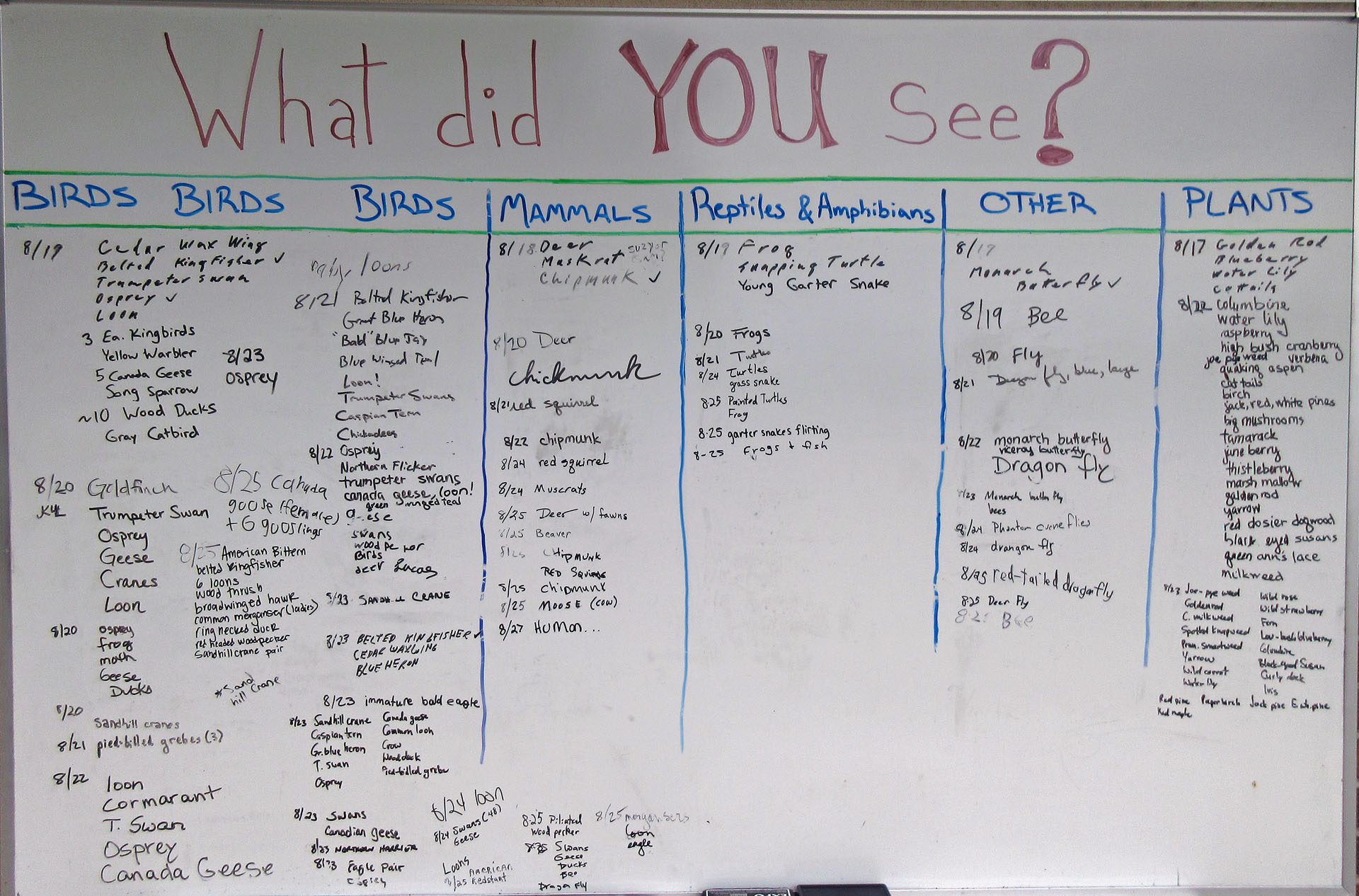 |
| On August 27, 2017, somebody saw a 'human'! |
While
driving on highway 28, Catherine spotted a big sign inviting us to the “Seney
National Wildlife Refuge”, so we drove for several miles out of our way to the
Visitor Center. It was truly fascinating! The volunteers were really pleasant
and knowledgeable, they showed us a film about the wildlife refuge and they had
a lot of hands-on exhibits. We wished we could have stayed there longer. Then
we got into the van—it started raining again—and drove the 7 mile loop
(Marshland Wildlife Drive), which was the highlight of our trip! We passed
through wetlands and forests, stopping from time to time and observing
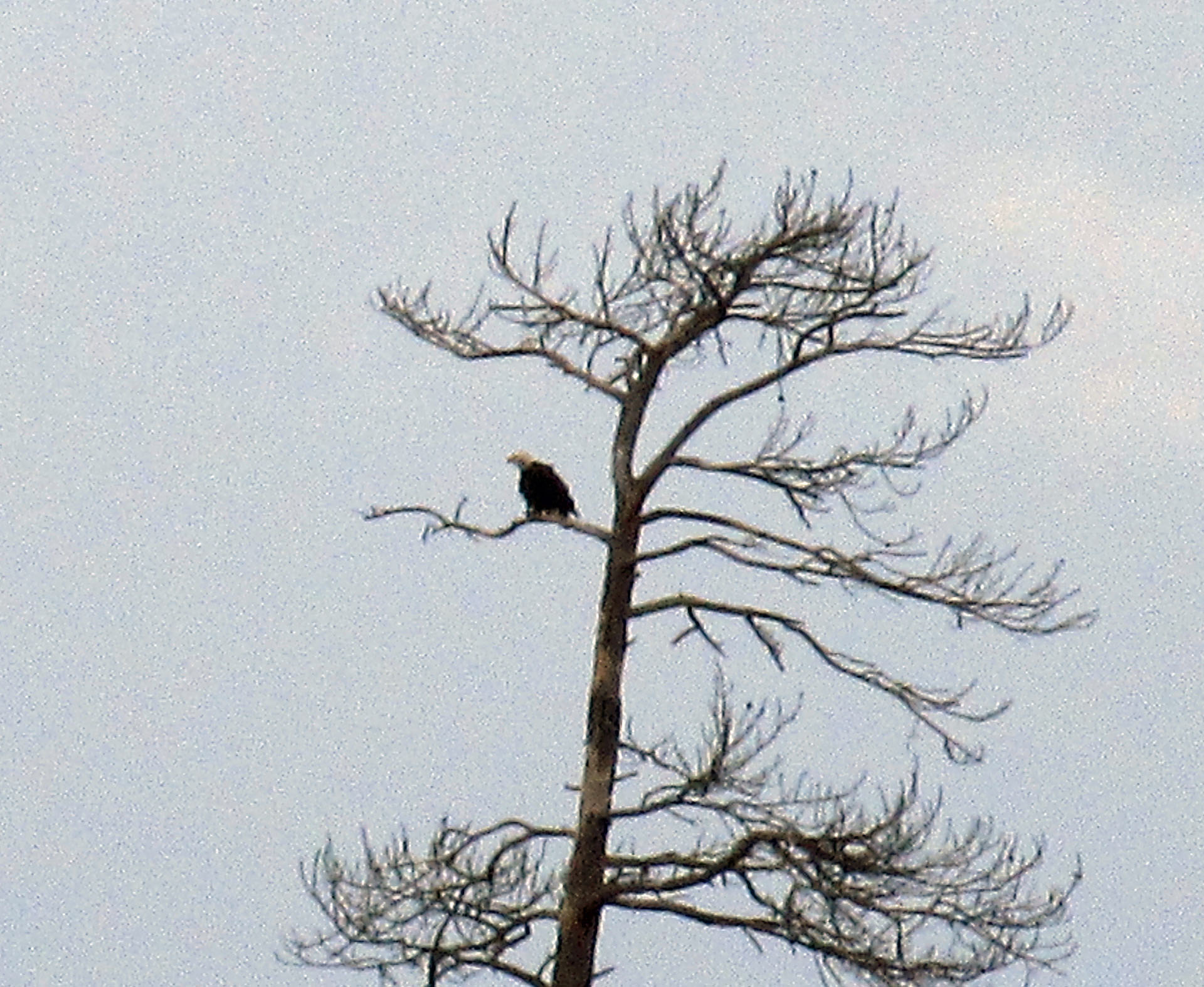
wildlife. We saw plenty of trumpeter swans and Canada geese. At one point we
spotted an eagle at a distance, sitting on top of a tree. As I was looking at
it through my camera telephoto lenses, Catherine was intensely staring at the
eagle.
“Is
this a golden eagle or a bald eagle?”, she asked.
“If it
looks like you, it’s a golden eagle, if it looks like me, it’s a bald eagle”, I
said.
Overall,
it was an awesome drive and we enjoyed every second if it!
We had
three places in mind where could camp. The one that we ended up stopping at
first was just outside of Strong, south of highway 28. It was called “Three
Lakes Campground” in the Hiawatha National Forest—and we liked it so much that
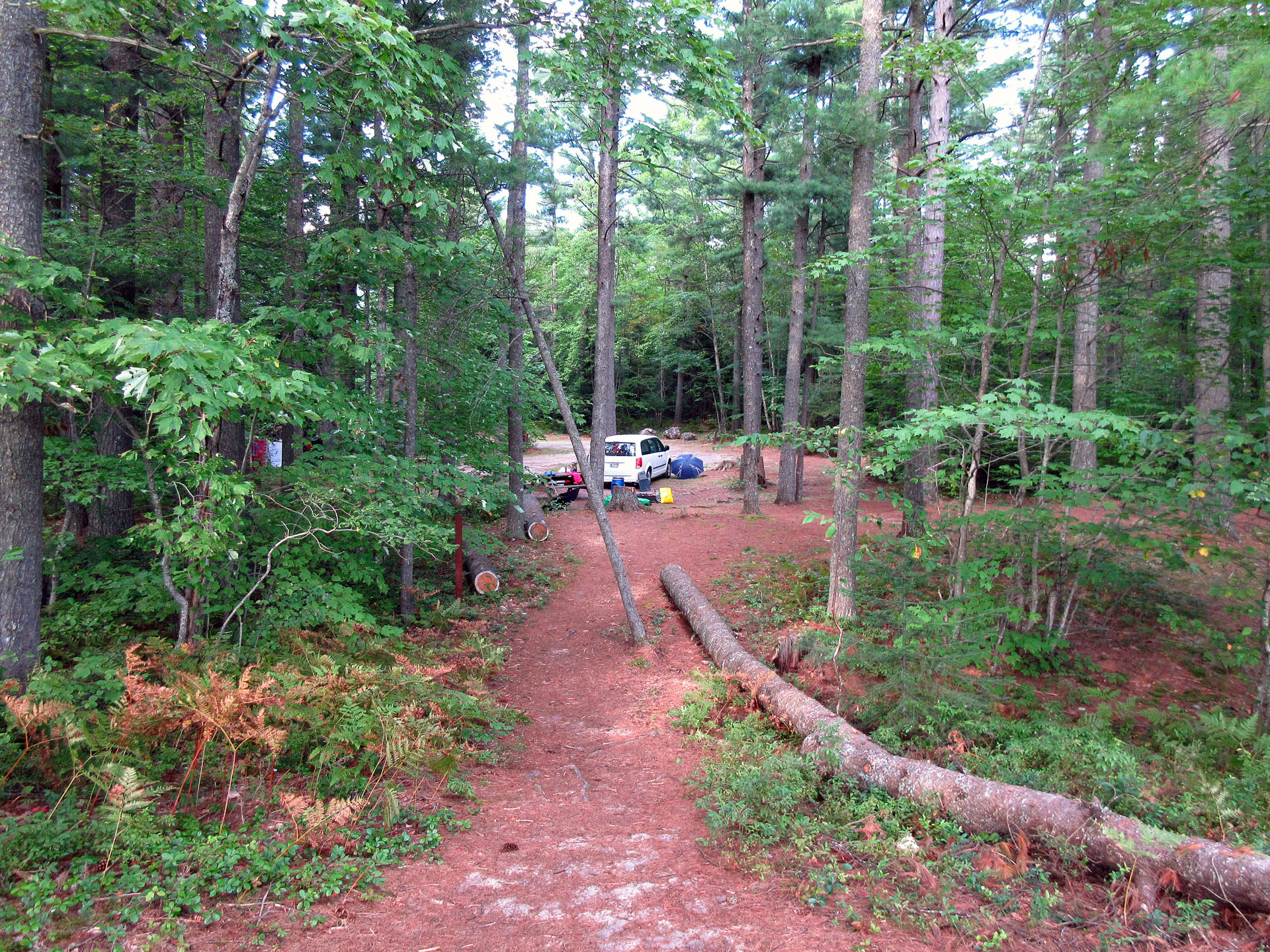
we did not bother checking out the other locations. The campground was empty
save for one car. We picked campsite number 8, beside the trail, near Walker
Lake, and got settled in. The rain was on and off and Catherine used her
umbrella-she wished she had bought a big umbrella which she saw in Shopko
recently.
There
were plenty of broken and semi-melted beer bottles inside the fire pit and it
took me a while to carefully remove as much glass as possible. I could never
understand why people do that! We had a nice campfire and grilled tasty pork
chops. We did not see anybody else on the campground—whoever was in the car,
never set up any tent and must have slept inside—around 6:00 a.m. next morning
I heard some noise and when I got up, the car was gone. We paid $8.00 for the
campsite per night—the only person we saw was the park attendant who came two
days later, collected the envelopes with the money, removed the garbage and
cleaned the washrooms.
We
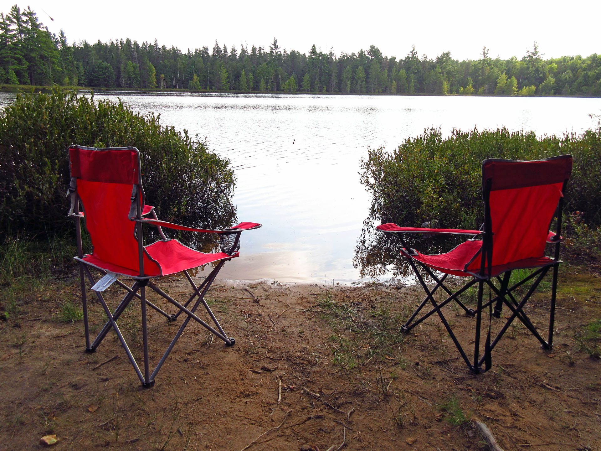
spent two nights in the park and loved it! We hardly ever heard cars which very
infrequently drove on the road. Just once, as we were enjoying the small beach
on the shores of the lake, we spotted some people who were putting their canoe
on the water. They were fishing and as they were close to the shore, we talked
to them for a while.
The
campground had about 10 campsites (28 according to the official government
website) and save for the washroom and the water pump, there were no other
facilities—campers were not supposed to even leave their garbage there. Our
campsite number 8 was at the end of the loop road, near a trail. The next day I
went for a walk beyond our campsite. Surprisingly, there was a road, albeit
unused for a while… and then I spotted a bunch of overgrown campsites! So,
there was another loop with many camping sites, now closed off—I wondered why?
Perhaps the campground’s low popularity did not justify maintaining all the
campsites… or perhaps the closed off sites were being rehabilitated. In any
case, we enjoyed our stay at this park very much and we hated to leave our
lovely campsite which was very large, very scenic and very private!
Tuesday, August 29, 2017
In the
morning we left our lovely campsite, drove north and took West Lakeshore Drive
along the south shores of Lake Superior. We also stopped at Bay View
Campground—one of the campgrounds we had considered staying at—it was nice, but
there were campers here and there and we were glad we picked Three Lakes
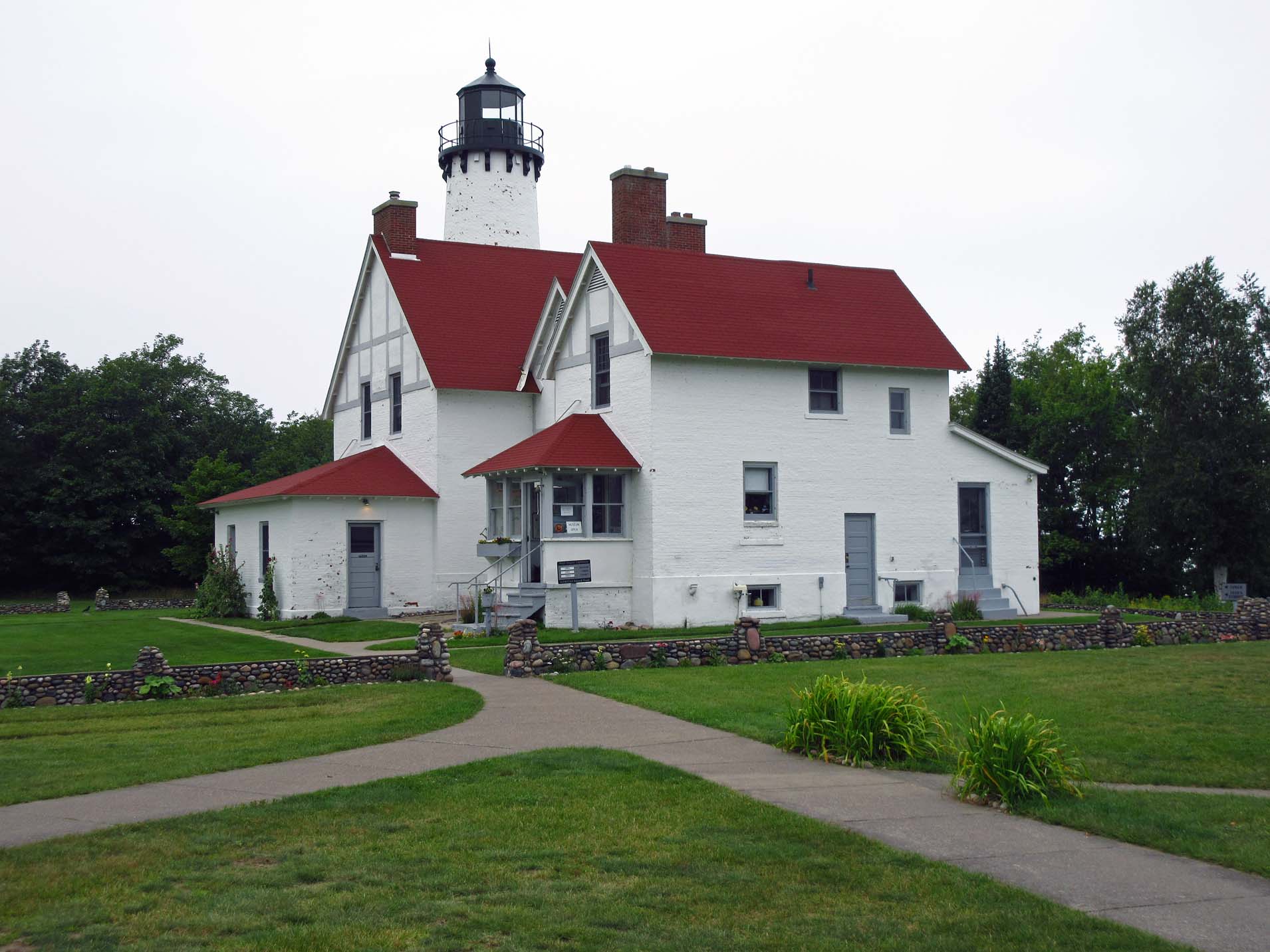
Campground over this one! Then we arrived at the Point Iroquois Lighthouse. It
was built in 1870, after the first lighthouse was demolished. Since at one time
it was manned by a head keeper and two assistants, it had living quarters for
three families. The lighthouse was decommissioned in 1962 and now it is a
museum. We spent there over one hour, talking to the rangers and museum
employees, walking in the re-created rooms and examining exhibits. Later we
took a stroll on the boardwalk. While having lunch outside, we chatted with one
lady who had, for many years, travelled all over the USA in her RV.
We
continued driving along the shore and reached Sault Ste. Marie (still in the
USA), went to a dollar store where we bought some food, as well as dropped into
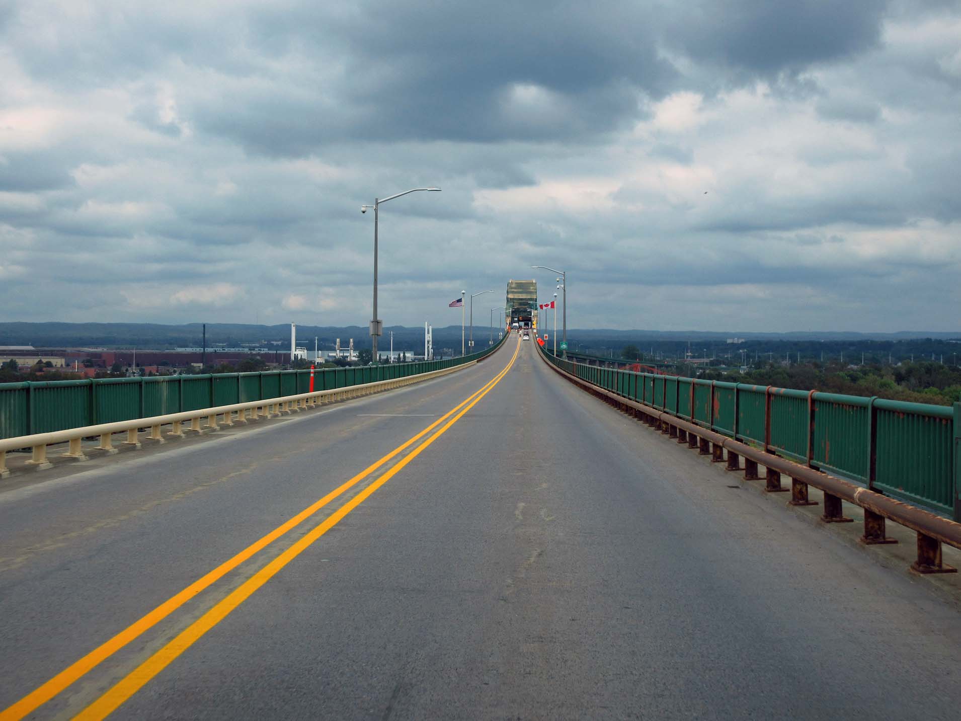
the duty-free store before continuing on the huge bridge over St. Mary’s River
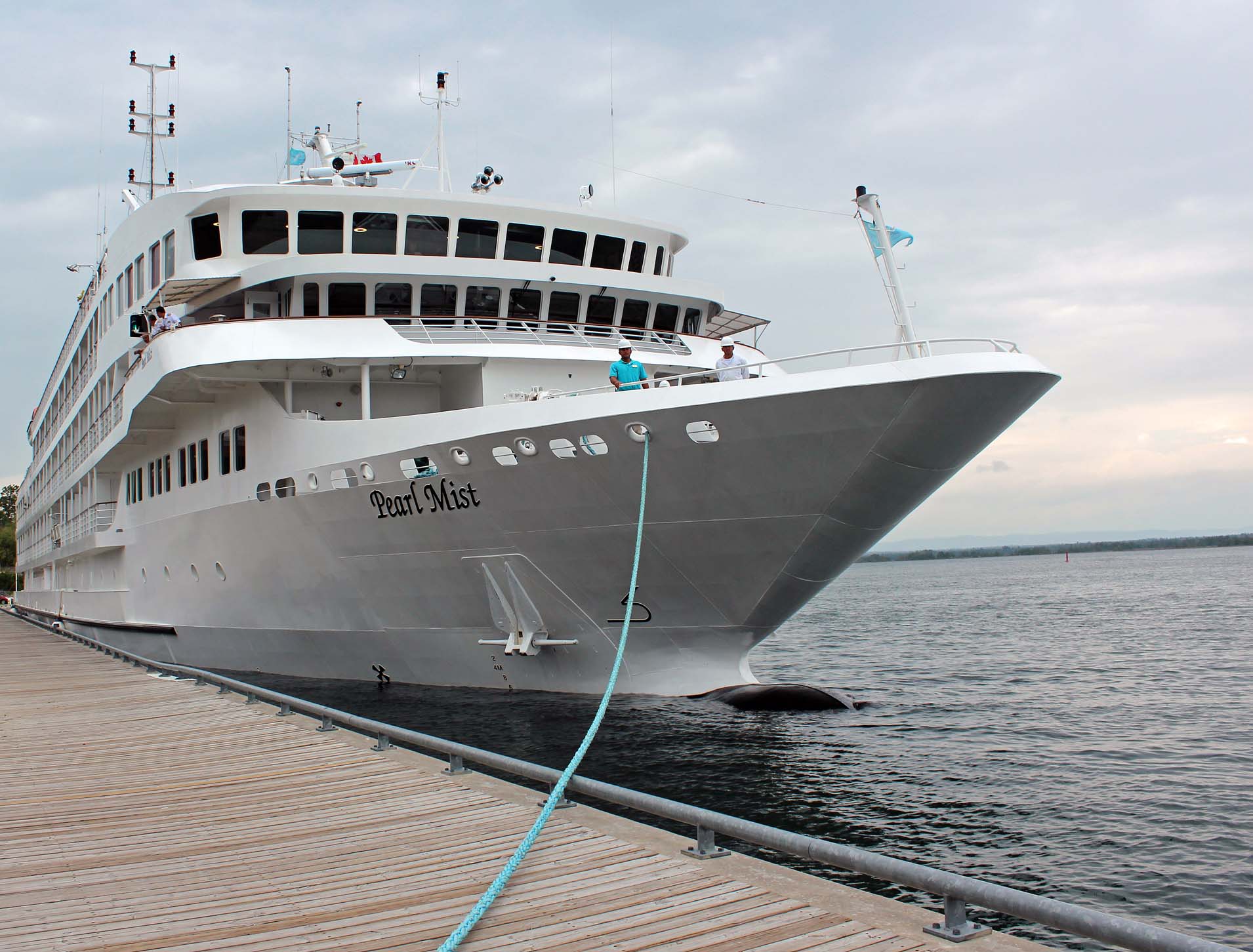
to Canada. From the bridge we spotted a cruise ship, called “The Pearl
Mist”—which we would see again on our trip. Below we saw the US locks, which
pass about 10,000 ships per year—the Canadian locks were only used for recreational
boats.
There
was a 10 minute wait to get to the border. The immigration officer did not ask
us much—mainly about firearms, mace and pepper spray—as well as he told us more
about “The Pearl Mist”.
We
took highway 17 and our next stop was a picnic spot near the bridge leading to
St. Joseph Island, on a small island called Bamford Island. In 2015, when we
were driving back to Canada, we also stopped at this very spot.
In
Serpent River, just meters after passing highway 108 (leading to Elliot Lake),
there was a big traffic jam, a big lineup of cars & trucks, and we saw a
police cruiser that passed us, yet police were not directing traffic or trying
to explain to us what was the problem. Apparently, there was an accident—later
was saw a damaged RV, but nobody really knew what was going on. The road was
blocked and we had no choice but wait. However, I noticed that some cars in
front of us made U-turns, but a few turned right into a side road called
Riverview Road. I glanced at my GPS and it showed that by taking this road, we
could bypass the accident, as its other end of the road connected to the
highway. Yet I was puzzled why the police officers did not re-direct the
traffic then? Did they know something that we did not know—or were just
incompetent or not very intelligent? Well, it was the latter, as we were about
to find out… We decided to take our chances and drove on the road—and it was a
great idea and perfect timing! After a relatively short drive we were back on
highway 17—and this time we saw over 100 vehicles (Catherine said it stretched
for miles) stocked on the other side of the highway due to the accident—and we
did not see ONE car taking the detour! Unfortunately, the cops had the road
blocked, yet they did not care about the existing alternative route and
re-directing the traffic.
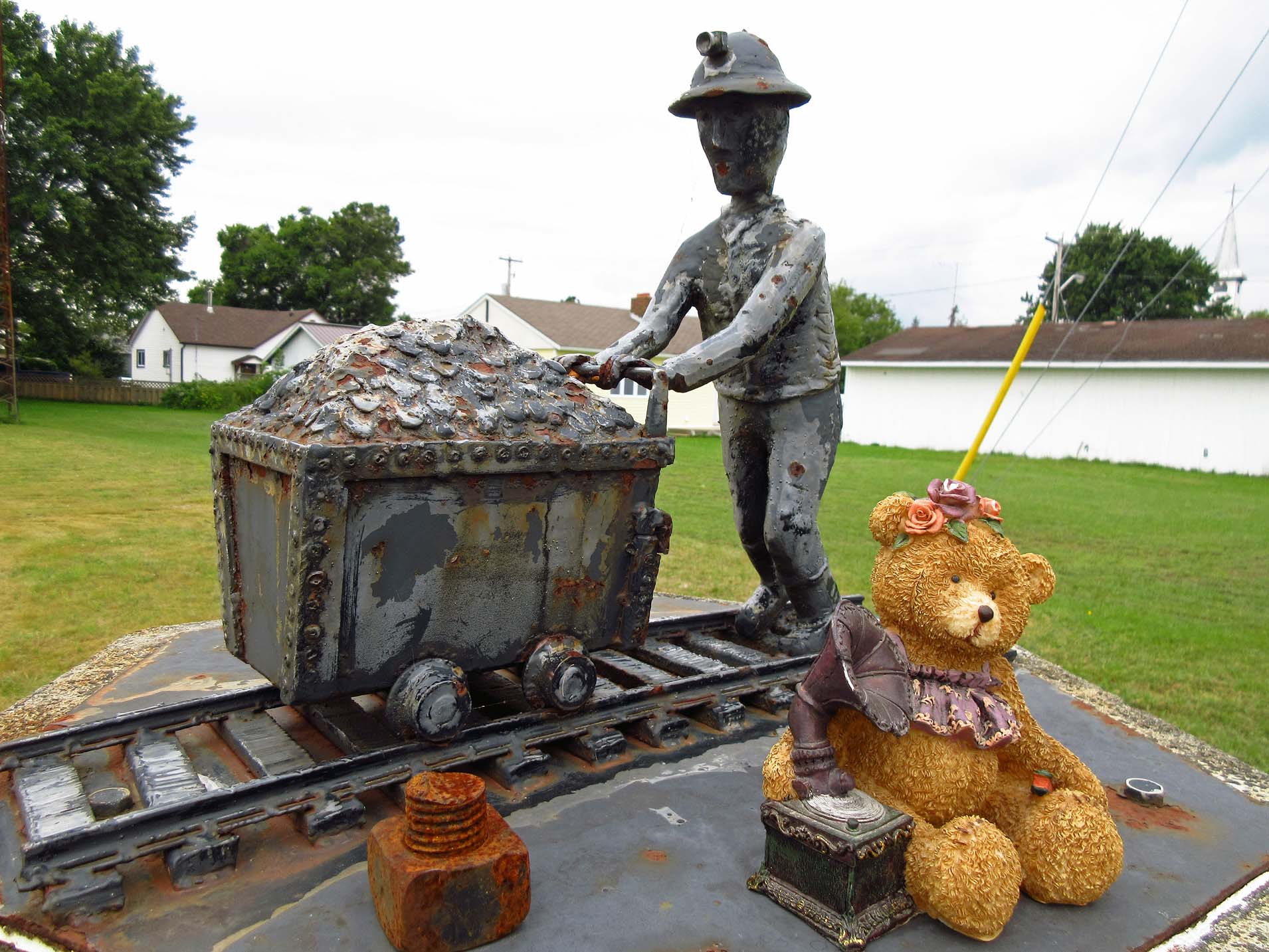 |
| Massey, Ontario |
We
kept driving for a few hours and finally reached the town of Massey, turned
north and in a couple of minutes arrived at Chutes Provincial Park. First we
drove around the park and picked a nice campsite number 98, then went back to
the gatehouse and paid for the campsite. It was our second visit in this
park—several years ago we had camped on campsite #95, but it was taken. Our
current campsite was near the trail leading to the chutes and we could even
hear the water. The campground was quite full and we had neighbors on both
sides, but it was remarkably quiet.
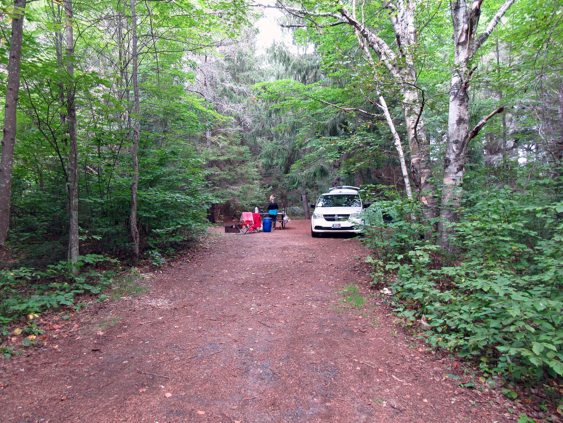
While I was setting up the tent, Catherine
unpacked the car and as she was setting up kitchen stuff on the table, suddenly
she started screaming—there was a black snake underneath the picnic table!
Immediately I bravely came over to the rescue, which was fairly easy—it was one
of those very realistically looking rubber snakes! Catherine even decided to
keep it as a souvenir. Whoever had placed the snake there, trying to frighten
unsuspecting camper, certainly DID succeed! We had a nice fire, nice grill and
slept like a log! Turning back to that accident on the road—around 9:00 p.m. we
heard a bunch of traffic passing by on highway 17, while we were setting up our
tent, and we assumed that they had finally cleared the accident and all the
vehicles were allowed to proceed.
Thursday, August 30, 2017
We
awoke at Chutes Park to what we thought was a neighbor pelting us with pine
cones. Catherine looked out from the tent and saw plenty of those hard, long,
green cones all over the ground. It turned out that it was the squirrels doing
that—they climbed up the tree, bit off the pine cones which fell off the tree
and later picked them up and carried to their burrows.
It was
a wonderful, sunny day and after breakfast we went for a hike along the trail.
We saw a several scenic falls & rapids and enjoyed the walk very much.
Sadly, we could not stay another day at this park as we had a reservation on
Manitoulin Island, so we left the park at 2:00 p.m. Little did we know then,
but in less than one month we would come back to this park again and stay on
the very same campsite for one week!
We
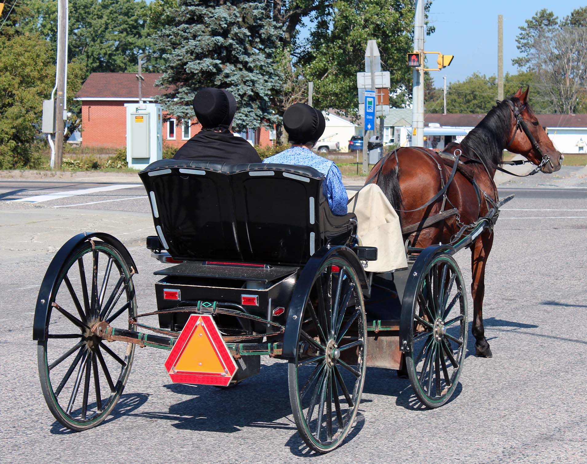
drove to Massey, where we saw some Mennonite people riding in horse-drawn buggies.
Massey was an old mining town, so there were several exhibits all over the town
about its mining past. We got back on highway #17 and headed towards Espanola.
As we were passing the bridge, we saw a huge Domtar Paper Mill—its chimneys
were spewing smoke and there was a very distinct whiff hanging all over the
town. We stopped at Giant Tiger, Dollarama and a grocery store, where we did
some shopping, and kept driving on very scenic highway 6. Finally we reached
the Little Current Swing Bridge, the only land access to Manitoulin Island. The
bridge was built in 1913 and the Algoma Eastern Railway began operating trains
across the bridge the same year. At that time the bridge was left in the open
position at all times for marine traffic except when a train needed to cross.
In the 1940s the bridge was modified to permit both rail and road traffic to
cross. Rail service ceased to use the bridge in the 1980s and since then it has
been used by vehicular traffic only.
Once
we reached the town of Little Current, the first thing that appeared in front
of our eyes was the cruise ship “The Pearl Mist”, which we had briefly seen two
days ago from the bridge in Sault Ste. Marie. The passengers were disembarking
from several tour buses—they had just returned from a bus excursion on
Manitoulin Island. We talked to a young man working at the port and he told us
more about the cruiser. It belonged to Great Lake Cruise Company which
organized cruises from Chicago to Midland & Toronto. The ship’s length was
100 meters, it had 6 decks, passenger capacity of 210 and a diesel engine 6,300
hp.
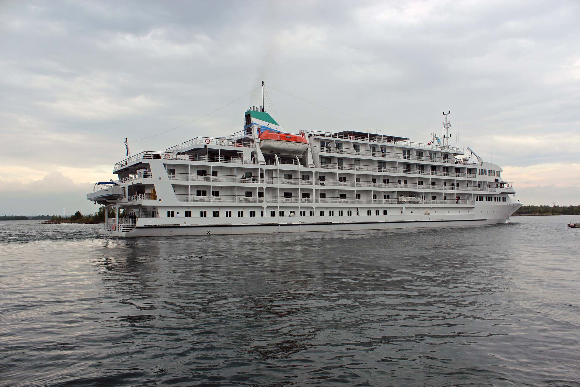
Since it was relatively light (e.g., it did not have a swimming pool), its
draft was only 3.1 m, perfect for cruising on the Great Lakes. However, such
cruises were quite expensive—from approximately U.S. $5,500 to $11,000. While
we were at the port, the ship cast off the docking lines and slowly headed
towards the swing bride. I did not think I would really enjoy this kind
vacation—but Catherine was much blunter in her assessment: “It (the cruise
ship) kind of looked like an old painted rust bucket to me, with a lot of old
people sitting on it,” she said.
Since
almost everything was shut down at 6:00 pm, we headed to Kicking Mule Ranch,
which Catherine had booked on Airbnb. She booked the “Slice of Country” cabin
and when we arrived, there was a sign saying “Welcome Jack and Catherine”. Yet
after wandering around the ranch and checking out other seemingly vacant cabin,
Catherine decided that she preferred the “Home, Tweet Home” cabin better, it
was more private.

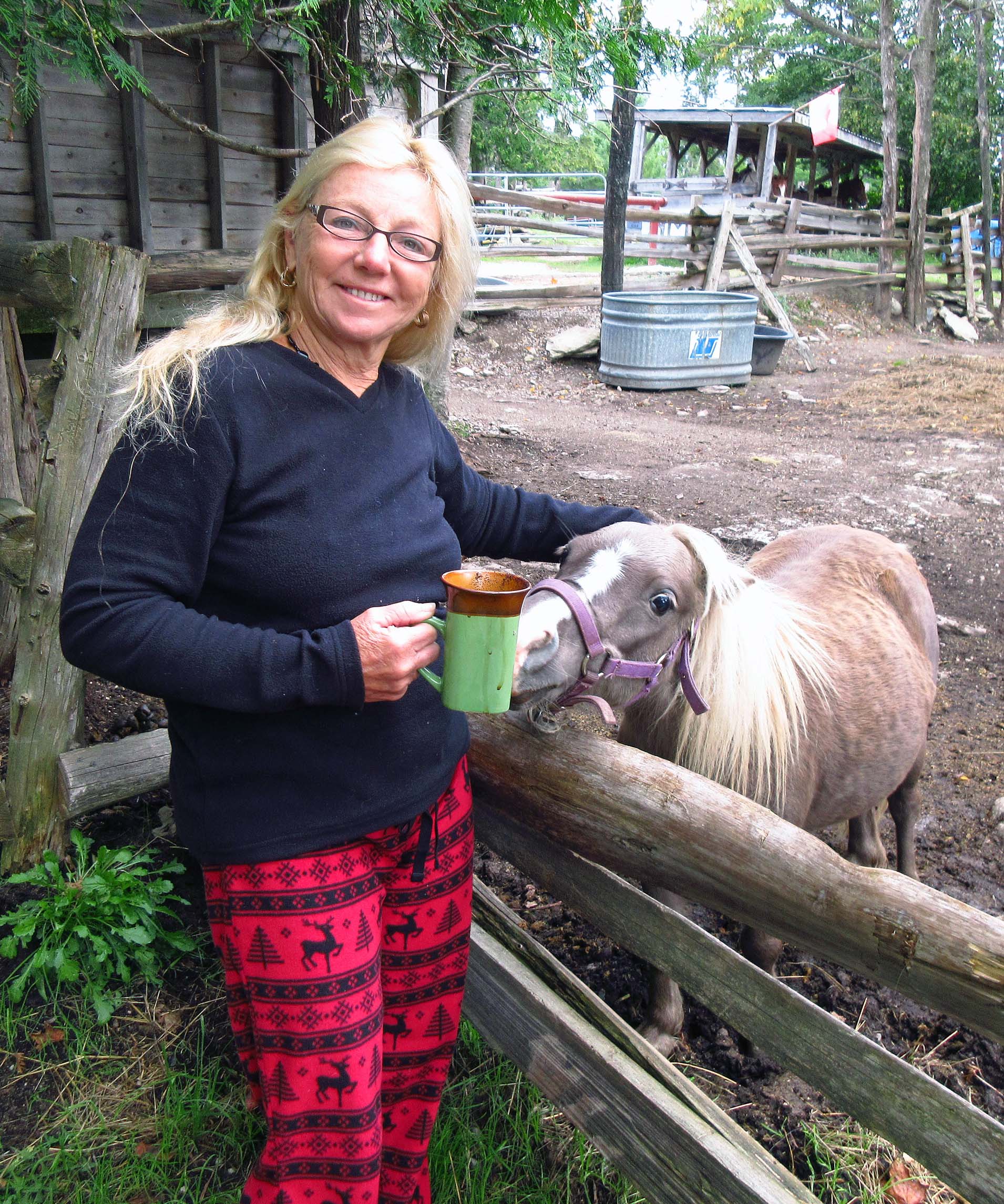
By the way, several years ago we had stayed at Kicking Mule
Ranch for a couple nights, camping in our tent. Now the campsites were gone—the
owner had expanded the place and added cabins and tipis. There was a British
family with 2 kids along with their parents from the U.K. They were renting one
of the tipis. Since the owner was not around—and we did not know if the other
cabin would be available—we just waited for her to make sure we could switch.
It started raining a little, so we sat under the roof of the one we had rented.
When she came, she said we could switch, so we did. The people in the tipi next
door relocated to the cabin since the tipi was leaking. We did not have a fire
that night, but we did not mind. There were three kitties! I took pity on one
of them and brought it into our cabin. It curled up and it purred and slept
with us, so we had a good night sleep.
Thursday, August 31, 2017
We got
up and were glad that the weather had improved. The other, orange kitty, came
over and curled up in our bed and probably wanted to sleep there all day, but
since we were going to be away most of the day, we put it outside. Then we
drove to see the Wikwemikong Unceded Reserve and the town of Wikwemikong.
Before we even got into that territory, there was a bargain barn which
Catherine could not resist pulling into. There were numerous bins full of
mainly Perrier bottles—we thought they were empty to be recycled, but we were
told they were free. Maybe they were expired or damaged, but they were, in our
opinion, perfect to drink and we got plenty of them. Then we went into the shop
which had plenty of food items which had just expired, but it was still totally
safe to eat and very cheap. Catherine ended up getting Lind chocolate bars,
they were $1 apiece (at other stores they retailed for $5.00)—yet she
succeeding in negotiating a case for $0.50 apiece! I got some very inexpensive
razors and an adding machine (hopefully, they had not expired!). Having filled
the van with all the goodies, we proceeded to, stopping at a gas station called
“Quick Gas Station” or so, but it was anything but quick, it was the slowest
bar gas we had been to, in fact we had to do everything ourselves, including
pumping the gas and doing the windshields.

Then we stopped at a rest area,
there was a cross and a plaque, listing natives from this district who were
killed in the First and Second War, as well as a bunch of rocks painted with
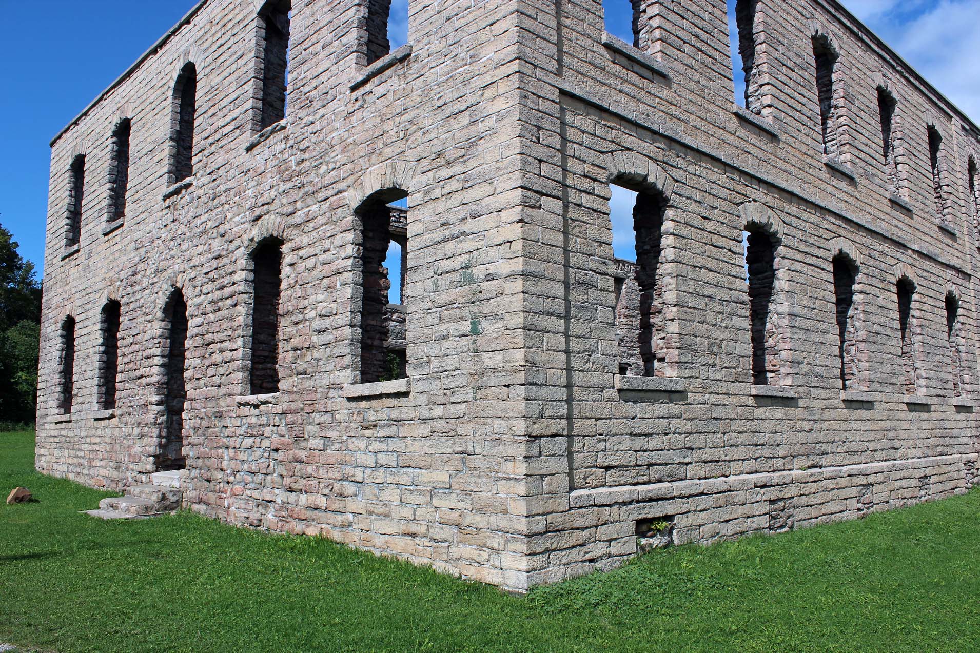
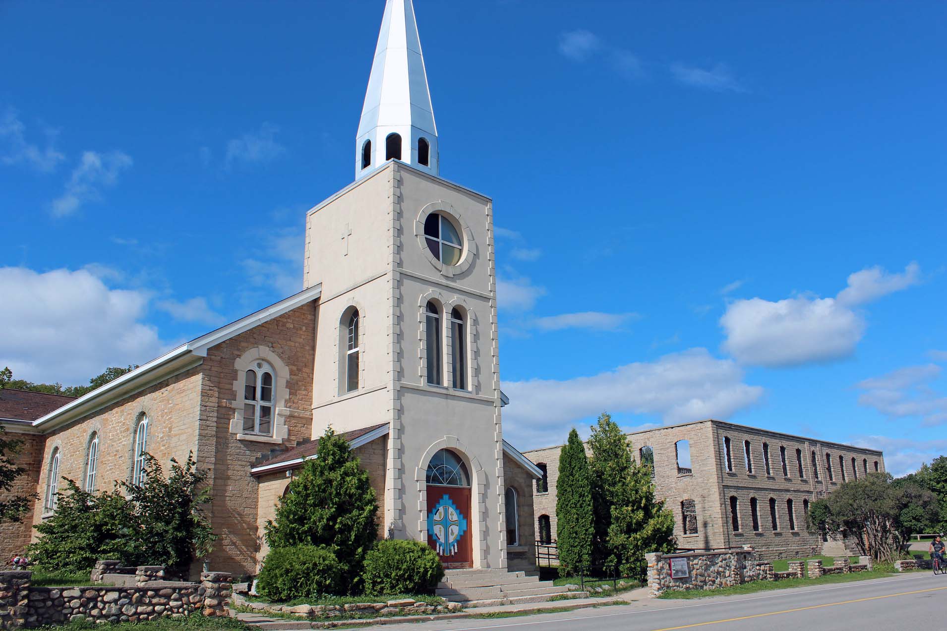
original Native motives. Finally, we reached the town of Wikwemikong. There was
a stone structure, just the walls, no roof, no windows; it turned out it had
been a school that had burned down.
On one side of that school’s remains was a
church and on the other side, the church rectory. We wanted to look into the
church, but it was locked. Suddenly a car pulled up and a man stepped out if
it—he was a Belgian Jesuit priest. I talked to him for a while and told him
that I knew the former pastor, Father Doug McCarthy, S.J., whom I had first met
at Manresa Retreat in Pickering, Ontario in 1994.
He
said that Father Paul Robson, S.J., was the pastor now. Well, the world is a
small place—Fr. Robson had given a retreat in 2016 at Manresa and I had even
spoken to him for a while! In any case, the priest told us that the door was
actually opened and we could go inside the church.
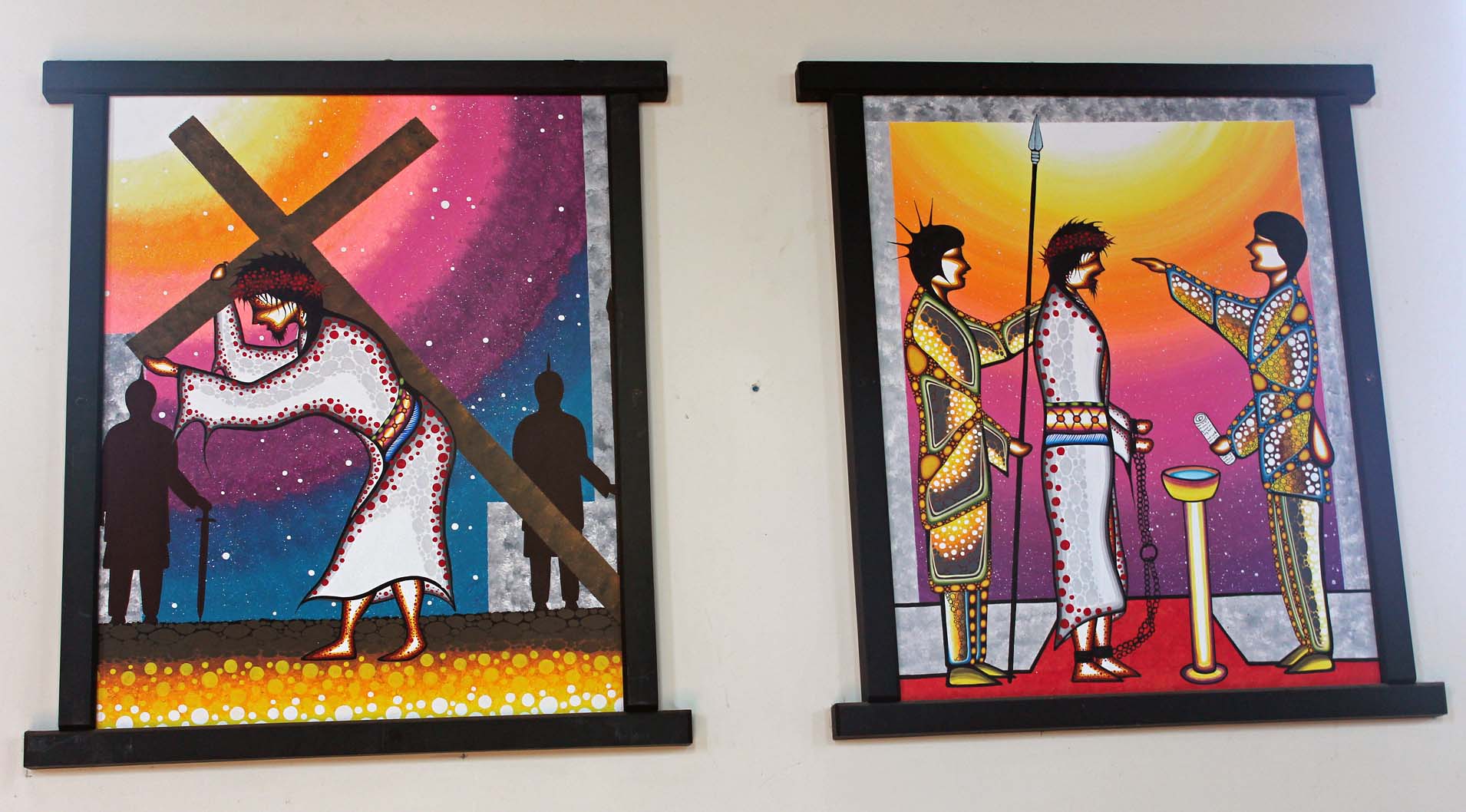
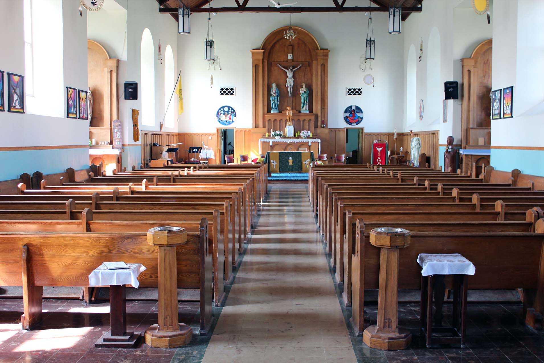
It was fascinating, it was a
combination of traditional European and Native culture. The Stations of the
Cross were represented by very original Native paintings, very brilliant and
fluorescent, in the unmistakable Native style. There were dream catchers inside
and some Native carvings—and a totem pole outside the church, representing the
Trinity. We were so glad we could see the church—it would have been awesome to
be able to attend a mass.
We
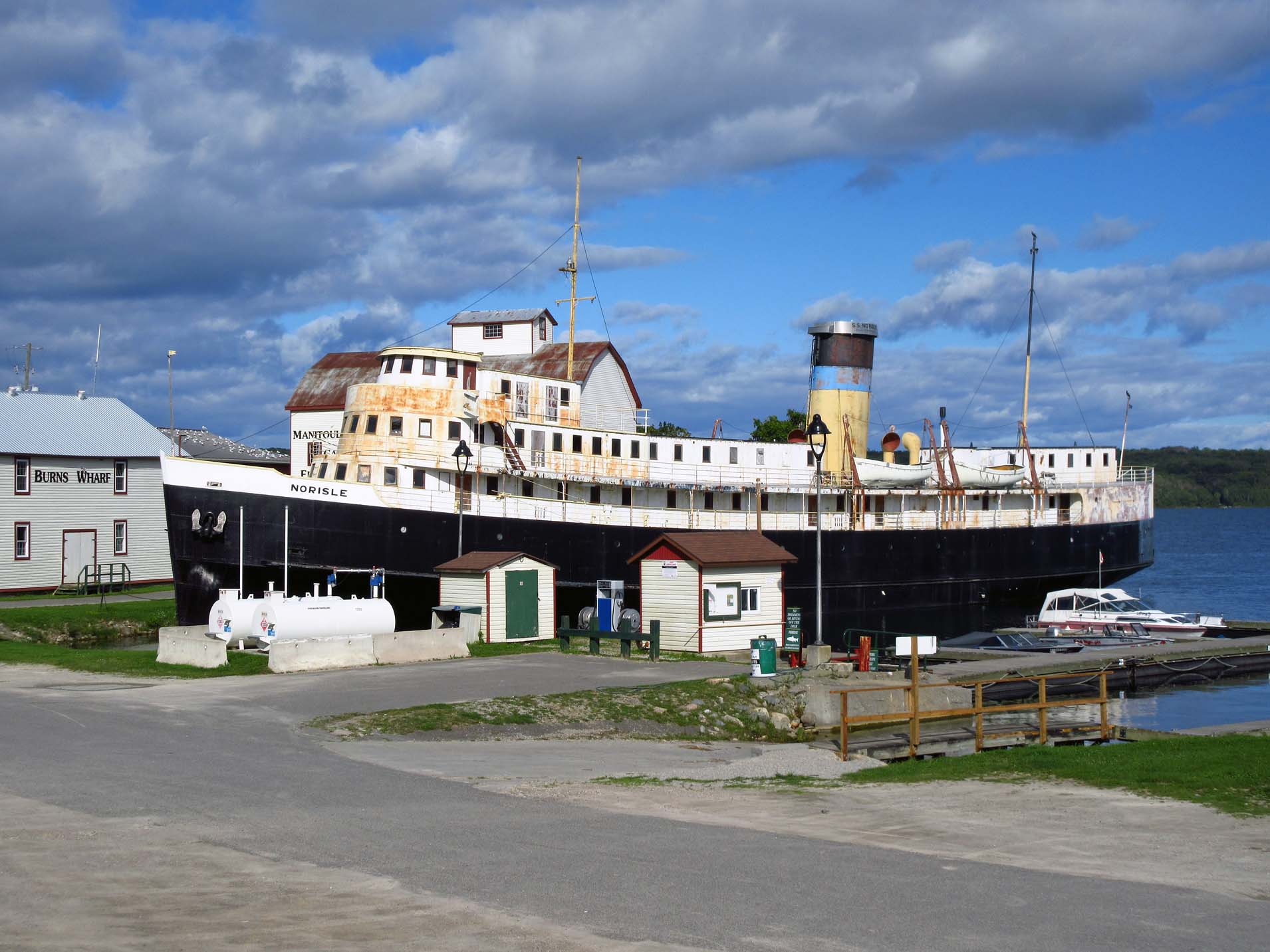
drove to the town of Manitowaning (outside the reserve). There was a rather
dilapidated ship The Norisle and a couple of interesting buildings, albeit all
closed. Later I found out that the S.S. Norsile was the first passenger steam
ship (ferry) built in Canada just after World War II and she sailed the route
between Tobermory and South-Baymouth on Manitoulin Island until 1974. Later she
served as a major tourist attraction and floating museum. However, she had been
closed to the public for some time and her future was uncertain.
We
pulled into a grocery store to buy ice and at the same time rearranged the
cooler. We also went into a gun store and some other places, but most of them
were closing, so we headed back to Kicking Mule Ranch. We spoke to the British
tourists and then we had a fire in front of our cabin, grilling tasty pork
chops over the fire, and around 11 p.m. we turned in. We wanted to have a kitty
in our cabin for the night, but we could not find any of them, they just
disappeared… or perhaps other campers had already taken them to their cabins!
Friday, September 1, 2017
We
packed up and were ready to leave, but before I went to the owner and showed
her my printed blog from 2013, in which were the photos of Kicking Mule Ranch
and her grandson, riding a pony. We headed out and we did not make it very far
as Catherine saw a sign saying “Fishery” and of course pulled it. The Blue Jay
Creek Fish Culture Station was interesting—there was a short trail by the creek
and a lot of interpretive signs. There were a couple of plaques about
McGauley’s Gristmil, which was constructed in the 1880s at that site and
operated until the 1930s. Inside the building there were a lot of displays and
information.
Then
we kept driving towards South Baymouth to catch the ferry. We parked on the
main street and walked on back streets, visited a gallery where Catherine
bought a poster, and then we got into the line to the ferry (just in case, we
had made a reservation several weeks ago), paid the fare and left the van
there. Catherine spotted a trail with a nice picnic area and of course, decided
to quickly do a little walk around the small bay. She somehow assumed that
there was a bridge crossing over back to the main parking—and there was none!
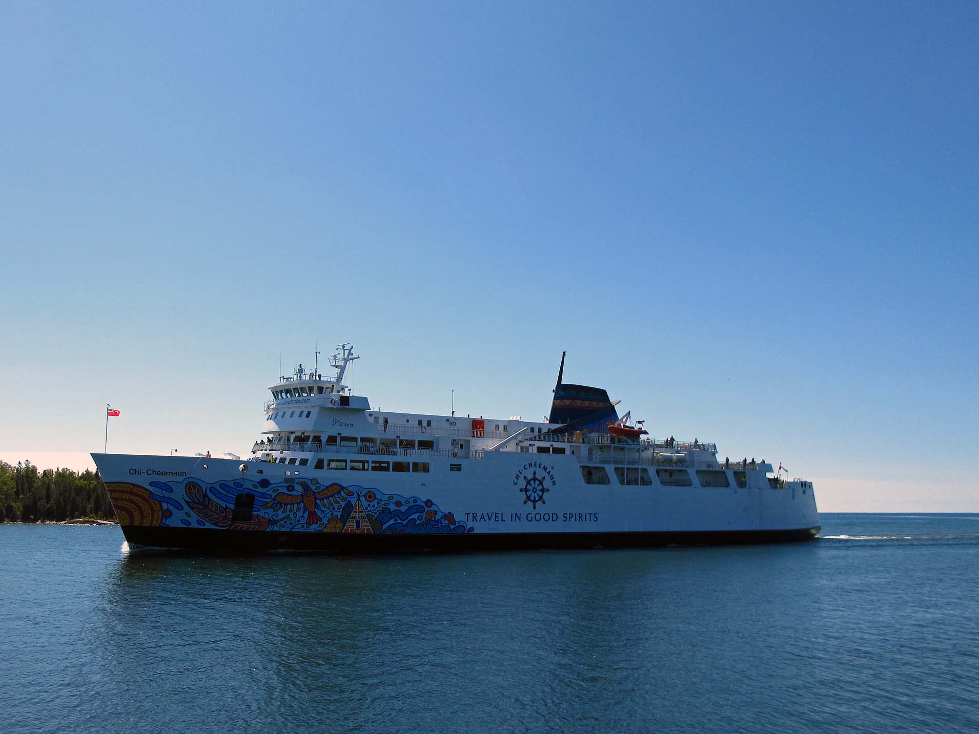
Suddenly she saw the Chi Cheemaun (the ferry) coming in and she ended up
running, discovering that she was not a runner at all! But we had plenty of
time—first, it took a while before all the vehicle drove off the ferry; then
the ferry employees were directing vehicles to drive onto the ferry. It turned
out that our lane was almost the last one to drive onto the ferry. We climbed
up on the upper deck and found two chairs in the stern section of the ferry,
having a great view. I had my GPS—the ferry was doing 30 km/h, I could identify
plenty of islands that we saw around, but it was a little bit noisy and reeked
of diesel. It was a sunny, warm day—Catherine’s daughter called and she spent
well over 30 minutes talking to her.
Then
in Tobermory we drove off the ferry, parked the car and walked around the town,
which was just crawling with people. We went to the Visitor Centre at Bruce
Peninsula National Park. Because of Canada’s 150th birthday, the
fees for using the National Parks (only day visits, I presumed) were waived and
maybe that was way we had to drive around the parking lot several times to find
a parking spot. There were plenty of exhibits, including the "Fathom Five
3D" exhibit and the Franklin Expedition exhibit. We spent at least 30
minutes there and it was very busy, teeming with visitors. At one point we
realized that save for the Visitor Center’s employees, we were the only
Caucasians there! I found it amusing—I had expected to see a lot of black
people in in the U.S.A., but I saw no more than 5 African-Americans during the
American leg of our trip!
In the
town of Tobermory there were plenty of gift shops and restaurants—so busy that
we did not even bother waiting in line to have a snack. After one hour we
headed off to our campsite where Catherine had made a reservation. Once
Catherine saw the sign “Happy Hearts Tent and Trailer Park”, she drove there
and gave her name to the gentleman at the reception. However, he was a little
confused and could find the reservation, so I went to the car to get the
printout of the reservation receipt—and of course, we immediately realized we
were at the wrong campground—we were supposed to go to the Harmony Acres
Campground!
So we
drove down on highway 6 for another 7 or so kilometers and this time reached
the correct destination. It was a mother and a daughter who had bought the
place several years ago. In the past, it had been a restaurant, but they had
turned it into a horse sanctuary for abused horses and made it into a very nice
campground. When we had made the reservation, it was one of the few places that
had available campsites during the Labour Day Long Weekend. Upon arrival, we
were told that all campsites were booked, so we expected to see throngs of
campers. Well, there were plenty of campsites vacant. Fortunately, nobody else
was camping in adjacent campsites and we were enjoying plenty of privacy.
However, had the place been full with campers, I did not think that would have
been the case! The campsites were a little similar to those in provincial
parks, albeit much smaller and much closer to one another. At the office we
were given a long list of rules which were also read to us—kind of unusual, in
comparison to provincial/state parks. Whereas the rule about not having a fire
after 11:00 p.m. did not bother us while we were camping, it was kind of weird:
at other parks we often sat around the campfire till the wee hours of the
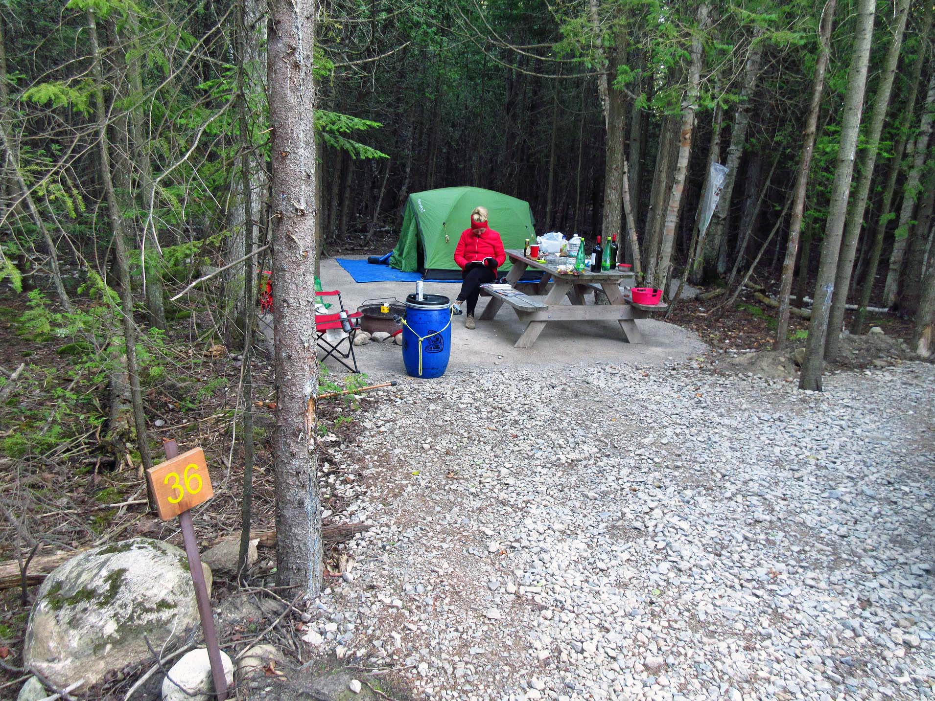
morning and did not disturb any other campers. For us the only problem was that
the highway backed up onto the campground, particularly where we were located
(#36) and we could hear the traffic all the time, especially after the last
ferry of the day arrived from Manitoulin Island, the traffic noise on highway 6
heading south lasted for a while. Since the campsite was small, once we parked
the van, it blocked the view, so the next morning Catherine parked the car on
one of the adjacent campsites. It was a cool night and we enjoyed the fire very
much.
September 2, 2017, Saturday
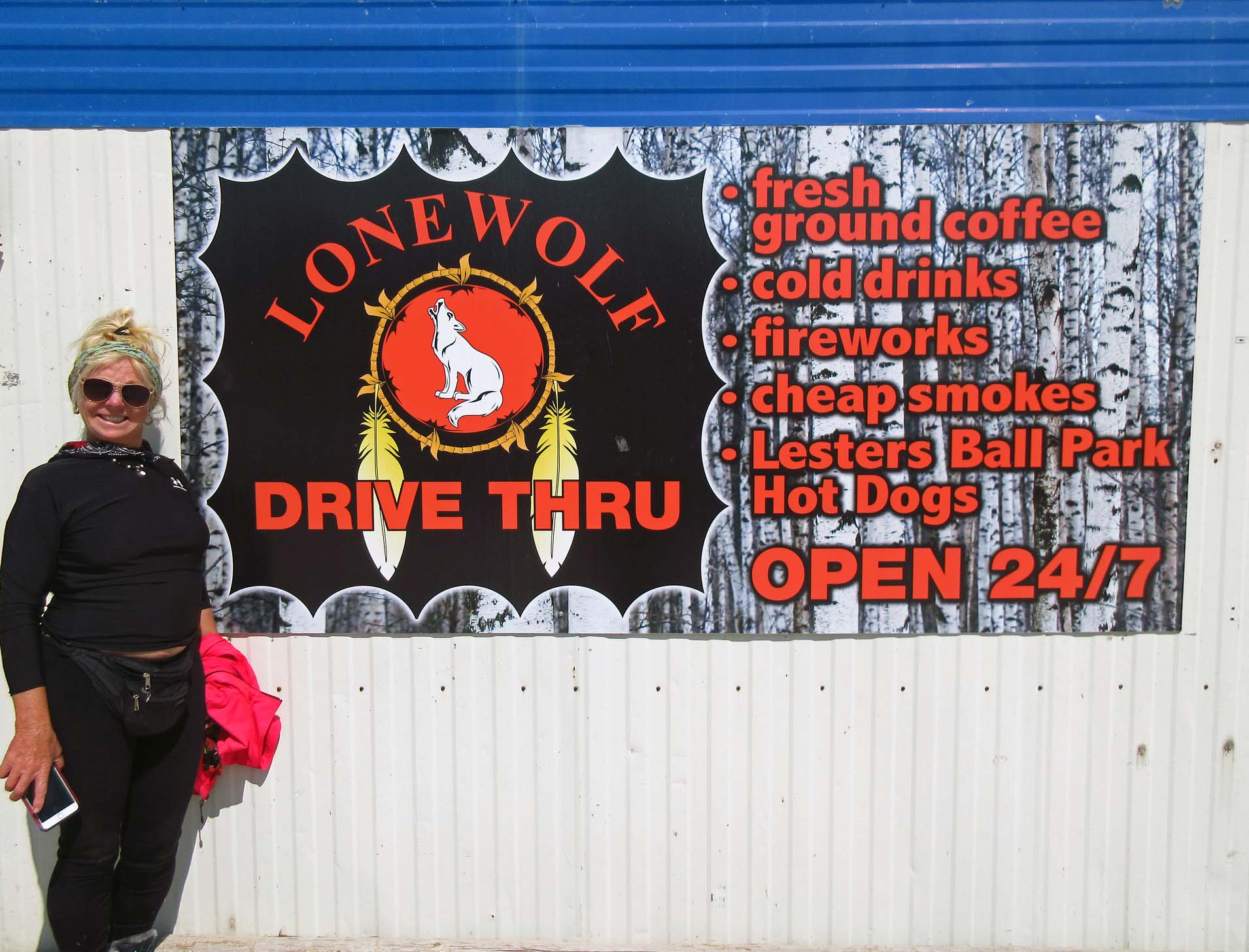
We
packed up and we were out by their strict rule of 11 a.m. We headed on highway
6 south and our first stop was a Thrift Shop, located in a former church. We
must have spent close to one hour there—Catherine bought a chair, I ended with
a bunch of books and magazines. Then we stopped at the Lone Wolf Fish &
Chips, located on the Cape Croker Hunting Ground Indian Reserve and split an
order of delicious fish & chips. We kept driving and we hit the town of
Wiarton and went to a store—it was an old Emporium, smelled like mildew, we did
not buy anything and walked up and down the street. Later we headed to Owen
Sound, where we went to The Giant Tiger and Dollarama for just 30 minutes; once
we were done, we headed towards Mississauga. Instead of a nice sunset, right
around 6:30 p.m. we could see very dark clouds, they sky got almost black, like
an eclipse. We stopped at the Nellie Mooney McClung (1873-1951) stone monument.
Born in Chatsworth, she was a feminist, author, social activist and politician.
She was also a temperance activist—how ironic… because I just had a can of cold
beer next to her monument!
Then
we kind of got lost, but the GPS showed us a cut through over the highway 10
(Sideroad 1) and even though the sign said, “No Exit”, we took a deep breath
and entered it. It was one of the most beautiful roads I had ever driven on! It
was a gravel road, some places were a little muddy and wet and we were afraid
that once we would get to the end, there would be no exit, but sure enough,
there was a stop sign and we came out on highway 10. Eventually it started
raining where we were in Caledon. We took highway 410 to Cawthra and arrived
home past 8:00 pm. Altogether we drove 2,080 km and had a wonderful time!